Mardingding
District indonésien
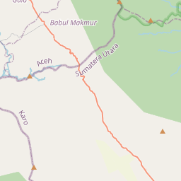
Mardingding is an isolated district of Karo Regency in North Sumatra. It lies 95 kilometres by broken road from Kabanjahe, the administrative centre of the Regency. The condition of the roads are so poor that some residents have planted bananas and cassava in the roads.
Nº Q6758689 ★★★
Rare · Lieux
Mardingding
District indonésien
Mardingding is an isolated district of Karo Regency in North Sumatra. It lies 95 kilometres by broken road from Kabanjahe, the administrative centre of the Regency. The condition of the roads are so poor that some residents have planted bananas and cassava in the roads.
Sur la carte
Dernier prix
—
Prix plancher
—
Médiane 7 j
—
Ventes 30 j
0
Fourchette 30 j
—
En circulation
0
Cours
médiane
min – max
ventes
Aucune vente sur la période
Voir le tableau
| Date | médiane | Min | Max | ventes |
|---|
Historique des ventes
- Dernière vente
- —
- Moyenne 30 j
- —
- Plus bas 30 j
- —
- Plus haut 30 j
- —
- Ventes 7 j
- 0
- Ventes 30 j
- 0
Aucune vente pour l'instant.
Ventes anonymes : ni acheteur ni vendeur. Les chiffres ne comptent que les ventes entre joueurs.
Sur Wikipédia
Texte en anglais Pas encore d'article dans ta langue : extrait en anglais.
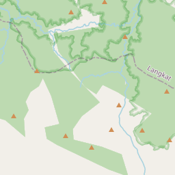
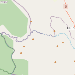
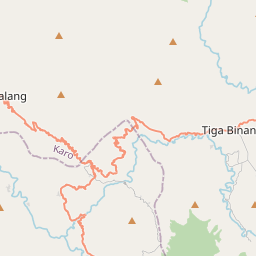
Mardingding is an isolated district of Karo Regency in North Sumatra. It lies 95 kilometres by broken road from Kabanjahe, the administrative centre of the Regency. The condition of the roads are so poor that some residents have planted bananas and cassava in the roads. It is not to be confused with Lake Mardingding, or Mardinding village, in Tiganderket District. Mardinding district borders Babul Makmur, Southeast Aceh Regency to the west, Langkat Regency to the north, and Tigabinanga District to the east. There are twelve desa within Mardingding District: Lau Solu, pop. 1,739 (2020 Census) Kuta Pengkih, pop. 2,103 Rimo Bunga, pop. 328 Lau Mulgap, pop. 1,300 Tanjung Pamah, pop. 907 Mardingding (capital), pop. 3,941 (6,208 inclusive of Lau Gurut and Bukit Makmur) Lau Kusumpat, pop. 1,348 Bandar Purba, pop. 1,098 Lau Pengulu, pop. 1,071 Lau Pakam, pop. 3,852 Lau Garut, pop. 1,424 Bukit Makmur, pop. 843 Lau Pakam is on the border with Aceh, and lies 40 km from Kutacane. The total population at the 2020 Census was 19,954, with a population density of 74.7 people/square kilometre. In 2007 there were 4,583 homes. 100% of the population were Indonesian citizens. Religious affiliations in 2007: 3,849 Muslims, 3,729 Catholics, 7,873 Protestants, 137 Hindus or Buddhists, 305 others. There are 8 mosques, 3 mushollas, 69 churches and 1 temple. In 2007, 94% of primary school age children were attending school, and 89% of high school age children. 73% of the population work in agriculture. The major crop was maize, with 14,671 hectares cultivated, and also rice, with 3,097 hectares wet rice and 585 hectares dry rice cultivated. In addition, 2,354 hectares of candlenut, and 635 hectares of cocoa were cultivated. Only a few, cottage, industries operate in Mardingding. There are 19 junior schools, 3 middle schools, and 0 high schools in...
Texte : Wikipédia en anglais, CC BY-SA 4.0. ·
Cartes voisines

Kabupaten de Karo
Département de la province de Sumatra du Nord
Nº Q5810 ★★★★★
Tiga Binanga
District indonésien
Nº Q4199059 ★★★
Naman Teran
District indonésien
Nº Q4259408 ★★★

Simpang Empat, Karo Regency
District in Karo Regency, North Sumatra Province, Indonesia
Nº Q7520588 ★★
Beringin
District in Deli Serdang Regency, North Sumatra Province, Indonesia
Nº Q4191533 ★★★

Marang Kayu
District indonésien
Nº Q12696887 ★★★