
The Broads
Network of rivers and lakes in the English counties of Norfolk and Suffolk
The Broads (known for marketing purposes as The Broads National Park) is a network of mostly navigable rivers and lakes in the English counties of Norfolk and Suffolk. Although the terms "Norfolk Broads" and "Suffolk Broads" are correctly used to identify specific areas within the two counties respectively, often the whole area is referred to as the Norfolk Broads.
Nº Q1999046 ★★★
Rare · Places
The Broads
Network of rivers and lakes in the English counties of Norfolk and Suffolk
The Broads (known for marketing purposes as The Broads National Park) is a network of mostly navigable rivers and lakes in the English counties of Norfolk and Suffolk. Although the terms "Norfolk Broads" and "Suffolk Broads" are correctly used to identify specific areas within the two counties respectively, often the whole area is referred to as the Norfolk Broads.
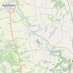
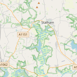
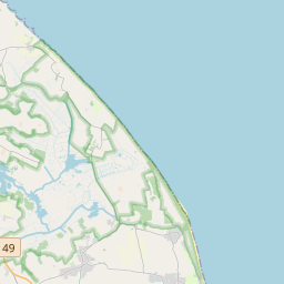
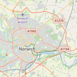
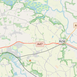
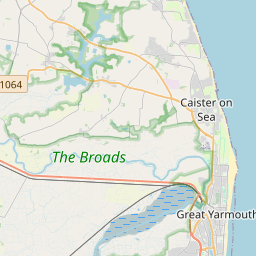
On the map
Last price
—
Floor price
—
7-day median
—
30-day sales
0
30-day range
—
In circulation
0
Price history
median
low – high
sales
No sales in this period
Show table
| Date | median | Low | High | sales |
|---|
Sales history
- Last sale
- —
- 30-day average
- —
- 30-day low
- —
- 30-day high
- —
- Sales 7d
- 0
- Sales 30d
- 0
No sales yet.
Anonymous sales: no buyer or seller shown. Figures count player-to-player sales only.
From Wikipedia
The Broads (known for marketing purposes as The Broads National Park) is a network of mostly navigable rivers and lakes in the English counties of Norfolk and Suffolk. Although the terms "Norfolk Broads" and "Suffolk Broads" are correctly used to identify specific areas within the two counties respectively, often the whole area is referred to as the Norfolk Broads. The lakes, known as broads, were formed by the flooding of peat workings. The Broads, and some surrounding land, were constituted as a special area with a level of protection similar to a national park by the Norfolk and Suffolk Broads Act 1988. The Broads Authority, a special statutory authority responsible for managing the area, became operational in 1989. The area is 303 square kilometres (117 sq mi), most of which is in Norfolk, with over 200 kilometres (120 mi) of navigable waterways. There are seven rivers and 63 broads, mostly less than 4 metres (13 ft) deep. Thirteen broads are generally open to navigation, with a further three having navigable channels. Some broads have navigation restrictions imposed on them in autumn and winter, although the legality of the restrictions is questionable. The Broads has similar status to the national parks in England and Wales; the Broads Authority has powers and duties akin to the National Parks but is also the third-largest inland navigation authority. Because of its navigation role the Broads Authority was established under its own legislation, Norfolk and Suffolk Broads Act 1988 which came into effect on 1 April 1989. The Broads Authority Act 2009, which was promoted through Parliament by the authority, is intended to improve public safety on the water.
Text: Wikipédia, CC BY-SA 4.0. · Image: Peter Henry Emerson (Public domain) ·
Related cards

Broadwater Farm
Area in Tottenham, London, England, UK
Nº Q4972349 ★★

Beccles
Market town and civil parish in East Suffolk, Suffolk, England, UK
Nº Q813574 ★

The Fens
Naturally marshy region in eastern England
Nº Q1404827 ★★★

River Wharfe
River in the United Kingdom
Nº Q1538073 ★★★

Pennines
Mountain range in Northern England
Nº Q35647 ★★★

Calderdale
Metropolitan borough in West Yorkshire, England, UK
Nº Q1026448 ★