
The Broads
Network of rivers and lakes in the English counties of Norfolk and Suffolk
The Broads (known for marketing purposes as The Broads National Park) is a network of mostly navigable rivers and lakes in the English counties of Norfolk and Suffolk. Although the terms "Norfolk Broads" and "Suffolk Broads" are correctly used to identify specific areas within the two counties respectively, often the whole area is referred to as the Norfolk Broads.
Nº Q1999046 ★★★
Rara · Lugares
The Broads
Network of rivers and lakes in the English counties of Norfolk and Suffolk
The Broads (known for marketing purposes as The Broads National Park) is a network of mostly navigable rivers and lakes in the English counties of Norfolk and Suffolk. Although the terms "Norfolk Broads" and "Suffolk Broads" are correctly used to identify specific areas within the two counties respectively, often the whole area is referred to as the Norfolk Broads.
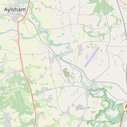
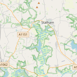
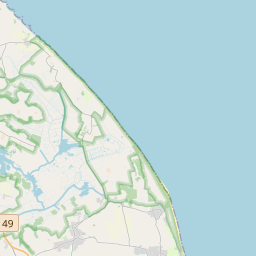
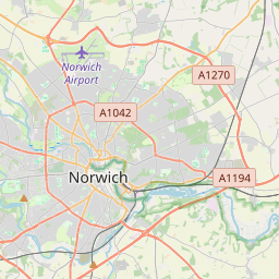
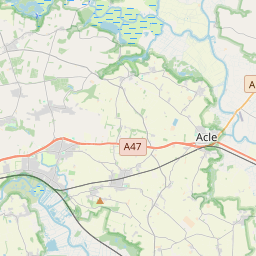
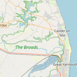
No mapa
Último preço
—
Preço mínimo
—
Mediana 7 d
—
Vendas 30 d
0
Faixa 30 d
—
Em circulação
0
Cotação
mediana
mín – máx
vendas
Sem vendas no período
Ver tabela
| Data | mediana | Mín | Máx | vendas |
|---|
Histórico de vendas
- Última venda
- —
- Média 30 d
- —
- Mínima 30 d
- —
- Máxima 30 d
- —
- Vendas 7 d
- 0
- Vendas 30 d
- 0
Ainda sem vendas.
Vendas anônimas: sem comprador nem vendedor. Os números contam só vendas entre jogadores.
Na Wikipédia
Texto em inglês Ainda não há artigo no seu idioma: trecho em inglês.
The Broads (known for marketing purposes as The Broads National Park) is a network of mostly navigable rivers and lakes in the English counties of Norfolk and Suffolk. Although the terms "Norfolk Broads" and "Suffolk Broads" are correctly used to identify specific areas within the two counties respectively, often the whole area is referred to as the Norfolk Broads. The lakes, known as broads, were formed by the flooding of peat workings. The Broads, and some surrounding land, were constituted as a special area with a level of protection similar to a national park by the Norfolk and Suffolk Broads Act 1988. The Broads Authority, a special statutory authority responsible for managing the area, became operational in 1989. The area is 303 square kilometres (117 sq mi), most of which is in Norfolk, with over 200 kilometres (120 mi) of navigable waterways. There are seven rivers and 63 broads, mostly less than 4 metres (13 ft) deep. Thirteen broads are generally open to navigation, with a further three having navigable channels. Some broads have navigation restrictions imposed on them in autumn and winter, although the legality of the restrictions is questionable. The Broads has similar status to the national parks in England and Wales; the Broads Authority has powers and duties akin to the National Parks but is also the third-largest inland navigation authority. Because of its navigation role the Broads Authority was established under its own legislation, Norfolk and Suffolk Broads Act 1988 which came into effect on 1 April 1989. The Broads Authority Act 2009, which was promoted through Parliament by the authority, is intended to improve public safety on the water.
Texto: Wikipédia em inglês, CC BY-SA 4.0. · Imagem: Peter Henry Emerson (Public domain) ·
Cartas próximas

Broadwater Farm
Area in Tottenham, London, England, UK
Nº Q4972349 ★★

Beccles
Nº Q813574 ★

The Fens
Naturally marshy region in eastern England
Nº Q1404827 ★★★

Rio Wharfe
Nº Q1538073 ★★★
National Highways
Government-owned company with responsibility for managing the core road network in England
Nº Q5760006 ★

Peninos
Nº Q35647 ★★★