


Trossachs
Woodland glen in the Stirling council area of Scotland
The Trossachs (; Scottish Gaelic: Na Tròiseachan) generally refers to an area of wooded glens, braes, and lochs lying to the east of Ben Lomond in the Stirling council area of Scotland. The name is taken from that of a small woodland glen that lies at the centre of the area, but is now generally applied to the wider region.
Nº Q4117 ★
Common · Places
Trossachs
Woodland glen in the Stirling council area of Scotland
The Trossachs (; Scottish Gaelic: Na Tròiseachan) generally refers to an area of wooded glens, braes, and lochs lying to the east of Ben Lomond in the Stirling council area of Scotland. The name is taken from that of a small woodland glen that lies at the centre of the area, but is now generally applied to the wider region.
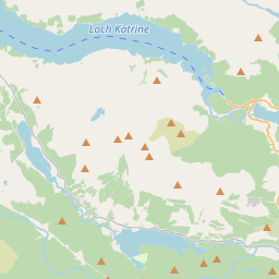
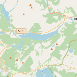
On the map
From Wikipedia
The Trossachs (; Scottish Gaelic: Na Tròiseachan) generally refers to an area of wooded glens, braes, and lochs lying to the east of Ben Lomond in the Stirling council area of Scotland. The name is taken from that of a small woodland glen that lies at the centre of the area, but is now generally applied to the wider region. The wooded hills and lochs of the area may be considered to represent a microcosm of a typical highland landscape, and the woodlands are an important habitat for many species. Much of the Trossachs area is protected by various different conservation designations, including the Great Trossachs Forest National Nature Reserve. The Trossachs form part of the Loch Lomond and The Trossachs National Park, which was established in 2002. The area has long been visited by tourists due to the relative proximity of major population centres such as Glasgow and Stirling, and remains popular with walkers, cyclists and tourists. Scenic boat rides on Loch Katrine are popular with visitors: the steamer SS Sir Walter Scott, launched in 1899, remains in operation. The Great Trossachs Path, one of Scotland's Great Trails, is a 48 km route suitable for walkers, cyclists and horse riders. It runs between Callander in the east and Inversnaid on the banks of Loch Lomond in the west, passing along the northern shores of Loch Katrine and Loch Arklet.
Text: Wikipédia, CC BY-SA 4.0. · Image: David Monniaux (CC BY-SA 3.0) ·
Related cards
-

Loch Lomond
Freshwater lake in Scotland, UK
Nº Q208926 ★★★
Not listed
-

Killin
Village in Stirling, Scotland, UK
Nº Q1009402 ★
Not listed
-

Loch Katrine
Freshwater lake and reservoir in Stirling, Scotland, UK, outflows to Achray Water and to Glengyle Water
Nº Q1867269 ★
Not listed
-

Loch Lomond and The Trossachs National Park
National park in Scotland
Nº Q116661 ★★
Not listed
-

Crianlarich
Village in Stirling, Scotland, UK
Nº Q965305 ★
Not listed
-

Lothian
Former local government region of Scotland
Nº Q642024 ★★
Not listed