
West Side Highway
Highway in Manhattan
The Joe DiMaggio Highway, commonly called the West Side Highway and formerly the Miller Highway, is a 5.42-mile-long (8.72 km) mostly surface section of New York State Route 9A (NY 9A), running from West 72nd Street along the Hudson River to the southern tip of Manhattan in New York City. It replaced the West Side Elevated Highway, built between 1929 and 1951, which was shut down in 1973 due to neglect and lack of maintenance, and was dismantled by 1989.
Nº Q130424 ★★
Uncommon · Places
West Side Highway
Highway in Manhattan
The Joe DiMaggio Highway, commonly called the West Side Highway and formerly the Miller Highway, is a 5.42-mile-long (8.72 km) mostly surface section of New York State Route 9A (NY 9A), running from West 72nd Street along the Hudson River to the southern tip of Manhattan in New York City. It replaced the West Side Elevated Highway, built between 1929 and 1951, which was shut down in 1973 due to neglect and lack of maintenance, and was dismantled by 1989.
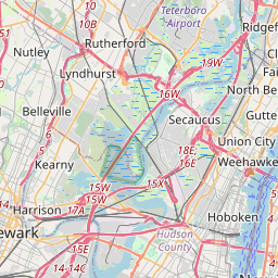
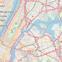
On the map
Last price
—
Floor price
—
7-day median
—
30-day sales
0
30-day range
—
In circulation
0
Price history
median
low – high
sales
No sales in this period
Show table
| Date | median | Low | High | sales |
|---|
Sales history
- Last sale
- —
- 30-day average
- —
- 30-day low
- —
- 30-day high
- —
- Sales 7d
- 0
- Sales 30d
- 0
No sales yet.
Anonymous sales: no buyer or seller shown. Figures count player-to-player sales only.
From Wikipedia
The Joe DiMaggio Highway, commonly called the West Side Highway and formerly the Miller Highway, is a 5.42-mile-long (8.72 km) mostly surface section of New York State Route 9A (NY 9A), running from West 72nd Street along the Hudson River to the southern tip of Manhattan in New York City. It replaced the West Side Elevated Highway, built between 1929 and 1951, which was shut down in 1973 due to neglect and lack of maintenance, and was dismantled by 1989. North of 72nd Street, the roadway continues as the Henry Hudson Parkway. The current highway was complete by 2001, but required reconstruction after the September 11 attacks that year, when the collapse of the World Trade Center caused debris to fall onto the surrounding areas, damaging the highway. It uses the surface streets that existed before the elevated highway was built: West Street, Eleventh Avenue and Twelfth Avenue. A short section of Twelfth Avenue still runs between 125th and 138th Streets, under the Riverside Drive Viaduct. Eleventh Avenue is a separate street north of 22nd Street. The portion between West 42nd Street and Canal Street is part of the Lincoln Highway.
Text: Wikipédia, CC BY-SA 4.0. · Image: Elvert Barnes (CC BY-SA 2.0) ·
Related cards

Upper East Side
Neighborhood in Manhattan
Nº Q455587 ★★★

Hudson Yards (development)
Development project in New York City
Nº Q55885925 ★★

Pulaski Skyway
Bridge in Jersey City, New Jersey, United States
Nº Q452447 ★

Outerbridge Crossing
Bridge between New Jersey and New York
Nº Q2041955 ★

East Harlem
Neighborhood of Upper Manhattan, New York City, New York, United States
Nº Q1069687 ★★★

Interstate 25
Section of Interstate Highway in New Mexico, Colorado, and Wyoming in the United States
Nº Q93801 ★★