
West Side Highway
Highway in Manhattan
The Joe DiMaggio Highway, commonly called the West Side Highway and formerly the Miller Highway, is a 5.42-mile-long (8.72 km) mostly surface section of New York State Route 9A (NY 9A), running from West 72nd Street along the Hudson River to the southern tip of Manhattan in New York City. It replaced the West Side Elevated Highway, built between 1929 and 1951, which was shut down in 1973 due to neglect and lack of maintenance, and was dismantled by 1989.
Nº Q130424 ★★
Incomum · Lugares
West Side Highway
Highway in Manhattan
The Joe DiMaggio Highway, commonly called the West Side Highway and formerly the Miller Highway, is a 5.42-mile-long (8.72 km) mostly surface section of New York State Route 9A (NY 9A), running from West 72nd Street along the Hudson River to the southern tip of Manhattan in New York City. It replaced the West Side Elevated Highway, built between 1929 and 1951, which was shut down in 1973 due to neglect and lack of maintenance, and was dismantled by 1989.
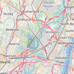
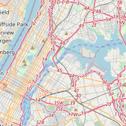
No mapa
Último preço
—
Preço mínimo
—
Mediana 7 d
—
Vendas 30 d
0
Faixa 30 d
—
Em circulação
0
Cotação
mediana
mín – máx
vendas
Sem vendas no período
Ver tabela
| Data | mediana | Mín | Máx | vendas |
|---|
Histórico de vendas
- Última venda
- —
- Média 30 d
- —
- Mínima 30 d
- —
- Máxima 30 d
- —
- Vendas 7 d
- 0
- Vendas 30 d
- 0
Ainda sem vendas.
Vendas anônimas: sem comprador nem vendedor. Os números contam só vendas entre jogadores.
Na Wikipédia
Texto em inglês Ainda não há artigo no seu idioma: trecho em inglês.
The Joe DiMaggio Highway, commonly called the West Side Highway and formerly the Miller Highway, is a 5.42-mile-long (8.72 km) mostly surface section of New York State Route 9A (NY 9A), running from West 72nd Street along the Hudson River to the southern tip of Manhattan in New York City. It replaced the West Side Elevated Highway, built between 1929 and 1951, which was shut down in 1973 due to neglect and lack of maintenance, and was dismantled by 1989. North of 72nd Street, the roadway continues as the Henry Hudson Parkway. The current highway was complete by 2001, but required reconstruction after the September 11 attacks that year, when the collapse of the World Trade Center caused debris to fall onto the surrounding areas, damaging the highway. It uses the surface streets that existed before the elevated highway was built: West Street, Eleventh Avenue and Twelfth Avenue. A short section of Twelfth Avenue still runs between 125th and 138th Streets, under the Riverside Drive Viaduct. Eleventh Avenue is a separate street north of 22nd Street. The portion between West 42nd Street and Canal Street is part of the Lincoln Highway.
Texto: Wikipédia em inglês, CC BY-SA 4.0. · Imagem: Elvert Barnes (CC BY-SA 2.0) ·
Cartas próximas

West Side (Manhattan)
Região ocidental de Manhattan, na cidade de Nova Iorque, Estados Unidos
Nº Q500601 ★★

Upper East Side
Bairro em Manhattan, Nova Iorque
Nº Q455587 ★★★

Hudson Yards
Nº Q55885925 ★★

Pulaski Skyway
Bridge in Jersey City, New Jersey, United States
Nº Q452447 ★

Outerbridge Crossing
Bridge between New Jersey and New York
Nº Q2041955 ★

East Harlem
Bairro de Manhattan, na cidade de Nova Iorque, Estados Unidos
Nº Q1069687 ★★★