
Bodmin Moor
Granite moorland in northeastern Cornwall, England
Bodmin Moor (Cornish Standard Written Form: Goon Brenn) is a granite moorland in north-eastern Cornwall, England, United Kingdom. It is 208 square kilometres (80 sq mi) in size, and the granite dates from the Permian period of geological history.
Nº Q889885 ★★
Poco común · Lugares
Bodmin Moor
Granite moorland in northeastern Cornwall, England
Bodmin Moor (Cornish Standard Written Form: Goon Brenn) is a granite moorland in north-eastern Cornwall, England, United Kingdom. It is 208 square kilometres (80 sq mi) in size, and the granite dates from the Permian period of geological history.
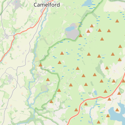
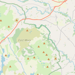
En el mapa
Último precio
—
Precio mínimo
—
Mediana 7 d
—
Ventas 30 d
0
Rango 30 d
—
En circulación
0
Cotización
mediana
mín – máx
ventas
Sin ventas en el periodo
Ver tabla
| Fecha | mediana | Mín | Máx | ventas |
|---|
Historial de ventas
- Última venta
- —
- Media 30 d
- —
- Mínimo 30 d
- —
- Máximo 30 d
- —
- Ventas 7 d
- 0
- Ventas 30 d
- 0
Aún no hay ventas.
Ventas anónimas: sin comprador ni vendedor. Las cifras solo cuentan ventas entre jugadores.
En Wikipedia
Texto en inglés Aún no hay artículo en tu idioma: extracto en inglés.
Bodmin Moor (Cornish Standard Written Form: Goon Brenn) is a granite moorland in north-eastern Cornwall, England, United Kingdom. It is 208 square kilometres (80 sq mi) in size, and the granite dates from the Permian period of geological history. It includes Brown Willy, the highest point in Cornwall, and Rough Tor, a slightly lower peak. Many of Cornwall's rivers have their sources here. It has been inhabited since at least the Neolithic era, when early farmers started clearing trees and farming the land. They left their megalithic monuments, hut circles and cairns, and the Bronze Age culture that followed left further cairns, and more stone circles and stone rows. By medieval and modern times, nearly all the forest was gone and livestock rearing predominated. The name Bodmin Moor is relatively recent. An early mention is in the Royal Cornwall Gazette of 28 November 1812. The upland area was formerly known as Fowey Moor after the River Fowey, which rises within it.
Texto: Wikipedia en inglés, CC BY-SA 4.0. · Imagen: Andy F at English Wikipedia (CC BY 3.0) ·
Cartas cercanas

Costa de Granito Rosa
Nº Q1150945 ★★★★

El Burren
Región natural en el noroeste del condado de Clare, en Irlanda
Nº Q917858 ★★★

Poulnabrone
Nº Q153645 ★★

Black Country
Zona difusa de la conurbación de los Midlands Occidentales (Inglaterra)
Nº Q767049 ★★★

Maroon Bells
Two peaks in the Elk Mountains, USA
Nº Q1400310 ★★

rocking stone of Huelgoat
Rocking stone in Huelgoat, France
Nº Q20971942 ★★★