
Bodmin Moor
Granite moorland in northeastern Cornwall, England
Bodmin Moor (Cornish Standard Written Form: Goon Brenn) is a granite moorland in north-eastern Cornwall, England, United Kingdom. It is 208 square kilometres (80 sq mi) in size, and the granite dates from the Permian period of geological history.
Nº Q889885 ★★
Incomum · Lugares
Bodmin Moor
Granite moorland in northeastern Cornwall, England
Bodmin Moor (Cornish Standard Written Form: Goon Brenn) is a granite moorland in north-eastern Cornwall, England, United Kingdom. It is 208 square kilometres (80 sq mi) in size, and the granite dates from the Permian period of geological history.
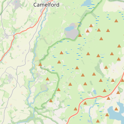
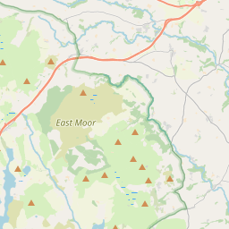
No mapa
Último preço
—
Preço mínimo
—
Mediana 7 d
—
Vendas 30 d
0
Faixa 30 d
—
Em circulação
0
Cotação
mediana
mín – máx
vendas
Sem vendas no período
Ver tabela
| Data | mediana | Mín | Máx | vendas |
|---|
Histórico de vendas
- Última venda
- —
- Média 30 d
- —
- Mínima 30 d
- —
- Máxima 30 d
- —
- Vendas 7 d
- 0
- Vendas 30 d
- 0
Ainda sem vendas.
Vendas anônimas: sem comprador nem vendedor. Os números contam só vendas entre jogadores.
Na Wikipédia
Texto em inglês Ainda não há artigo no seu idioma: trecho em inglês.
Bodmin Moor (Cornish Standard Written Form: Goon Brenn) is a granite moorland in north-eastern Cornwall, England, United Kingdom. It is 208 square kilometres (80 sq mi) in size, and the granite dates from the Permian period of geological history. It includes Brown Willy, the highest point in Cornwall, and Rough Tor, a slightly lower peak. Many of Cornwall's rivers have their sources here. It has been inhabited since at least the Neolithic era, when early farmers started clearing trees and farming the land. They left their megalithic monuments, hut circles and cairns, and the Bronze Age culture that followed left further cairns, and more stone circles and stone rows. By medieval and modern times, nearly all the forest was gone and livestock rearing predominated. The name Bodmin Moor is relatively recent. An early mention is in the Royal Cornwall Gazette of 28 November 1812. The upland area was formerly known as Fowey Moor after the River Fowey, which rises within it.
Texto: Wikipédia em inglês, CC BY-SA 4.0. · Imagem: Andy F at English Wikipedia (CC BY 3.0) ·
Cartas próximas

Côte de Granit Rose
Stretch of coastline in Brittany, France
Nº Q1150945 ★★★★

Burren
Região da Irlanda
Nº Q917858 ★★★

Dólmen de Poulnabrone
Dólmen em Burren, County Clare, Irlanda
Nº Q153645 ★★

Black Country
Area of the West Midlands in England
Nº Q767049 ★★★

Monts d'Arrée
Mountain in France
Nº Q2607651 ★★★★★

Wistman's Wood
Oakwood on Dartmoor, Devon, England
Nº Q3569474 ★