

Común · Lugares
Celilo Falls
Submerged waterfall on the Columbia River in Oregon and Washington. Largest waterfall by flow rate in North America until 1957.
Celilo Falls (; Tenino: Wyam, meaning "echo of falling water" or "sound of water upon the rocks," in several native languages) was a tribal fishing area on the Columbia River, just east of the Cascade Mountains, on what is today the border between the U.S. states of Oregon and Washington. The name refers to a series of cascades and waterfalls on the river, as well as to the native settlements and trading villages that existed there in various configurations for 15,000 years.
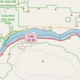
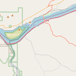
En el mapa
En Wikipedia
Texto en inglés Aún no hay artículo en tu idioma: extracto en inglés.
Celilo Falls (/səˈlaɪloʊ/; Tenino: Wyam, meaning "echo of falling water" or "sound of water upon the rocks," in several native languages) was a tribal fishing area on the Columbia River, just east of the Cascade Mountains, on what is today the border between the U.S. states of Oregon and Washington. The name refers to a series of cascades and waterfalls on the river, as well as to the native settlements and trading villages that existed there in various configurations for 15,000 years. Celilo was the oldest continuously inhabited community on the North American continent until 1957, when the falls and nearby settlements were submerged by the construction of The Dalles Dam. In 2019, there were calls by tribal leaders to restore the falls. The main waterfall, known variously as Celilo Falls, The Chutes, Great Falls, or Columbia Falls, consisted of three sections: a cataract, called Horseshoe Falls or Tumwater Falls; a deep eddy, the Cul-de-Sac; and the main channel. These features were formed by the Columbia River's relentless push through basalt narrows on the final leg of its journey to the Pacific Ocean. Frequently more than a mile (1.6 km) in width, the river was squeezed here into a width of only 140 feet (43 m). The seasonal flow of the Columbia changed the height of the falls over the course of a year. At low water the drop was about 20 feet (6.1 m). In 1839, Modeste Demers investigated the area in some detail and described not just one fall but a great many, in different channels and with different qualities.
Texto: Wikipedia en inglés, CC BY-SA 4.0. · Imagen: Barrows, Benjamin H; Union Pacific Railroad Company. Photogr... (Public domain) ·