
Hirschberg (Bavaria)
Mountain of the Tegernsee Mountains in Bavaria, Germany
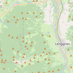
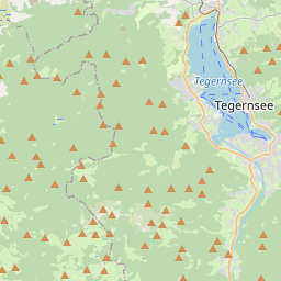
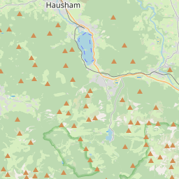
The Hirschberg (German pronunciation: [ˈhɪʁʃˌbɛʁk] ) is a 1,670-metre-high (5,479 ft) mountain in the Bavarian Fore-alps south of Lake Tegernsee. The summit may be reached via a gentle mountain path either from Scharling, Kreuth or Bad Wiessee, all three routes being classified as not difficult.
Nº Q1620367 ★★★
Rara · Lugares
Hirschberg (Bavaria)
Mountain of the Tegernsee Mountains in Bavaria, Germany
The Hirschberg (German pronunciation: [ˈhɪʁʃˌbɛʁk] ) is a 1,670-metre-high (5,479 ft) mountain in the Bavarian Fore-alps south of Lake Tegernsee. The summit may be reached via a gentle mountain path either from Scharling, Kreuth or Bad Wiessee, all three routes being classified as not difficult.
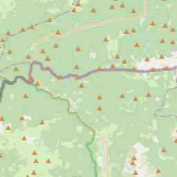
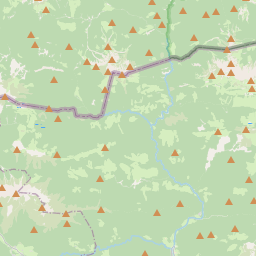
En el mapa
Último precio
—
Precio mínimo
—
Mediana 7 d
—
Ventas 30 d
0
Rango 30 d
—
En circulación
0
Cotización
mediana
mín – máx
ventas
Sin ventas en el periodo
Ver tabla
| Fecha | mediana | Mín | Máx | ventas |
|---|
Historial de ventas
- Última venta
- —
- Media 30 d
- —
- Mínimo 30 d
- —
- Máximo 30 d
- —
- Ventas 7 d
- 0
- Ventas 30 d
- 0
Aún no hay ventas.
Ventas anónimas: sin comprador ni vendedor. Las cifras solo cuentan ventas entre jugadores.
En Wikipedia
Texto en inglés Aún no hay artículo en tu idioma: extracto en inglés.
The Hirschberg (German pronunciation: [ˈhɪʁʃˌbɛʁk] ) is a 1,670-metre-high (5,479 ft) mountain in the Bavarian Fore-alps south of Lake Tegernsee. The summit may be reached via a gentle mountain path either from Scharling, Kreuth or Bad Wiessee, all three routes being classified as not difficult. Below the summit at a height of 1,520 m is the Hirschberghaus restaurant, which is open all-year. The Hirschberg is the Tegernsee's observation point with an extensive panorama in all directions of the compass. In winter it is climbed by skiers from Kreuth via the Rauheck Alm or on foot from Scharling. The path is a gentle walk via the toboggan run (Rodelbahn) as far as Hirschlacke, then becomes steep and, in places, icy as it runs along the so-called Kratzer to the Hirschberghaus and finally along the open ridge to the summit. The summer route is susceptible to avalanches in winter and should not be used at that time of year. The aforementioned Kratzer is a 1,544 m high sub-peak of the Hirschberg with a summit cross and the Hirschberghaus.
Texto: Wikipedia en inglés, CC BY-SA 4.0. · Imagen: Wikimedia Commons (CC BY-SA 3.0) ·
Cartas cercanas

Jemtia
Provincia histórica de Suecia
Nº Q211661 ★★★

Estrecho de Taiwán
Estrecho entre China continental y Taiwán
Nº Q127031 ★★★

Monte Judi
Montaña de Turquía
Nº Q1143135 ★★★

New Braunfels
Ciudad y sede del condado de Comal, estado de Texas, Estados Unidos
Nº Q574612 ★★★

Port Harcourt
Capital del estado de Rivers, Nigeria
Nº Q217432 ★★★

John o' Groats
Nº Q987766 ★★★