
Hirschberg (Bavaria)
Mountain of the Tegernsee Mountains in Bavaria, Germany
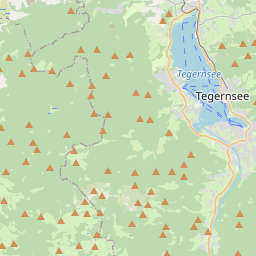
The Hirschberg (German pronunciation: [ˈhɪʁʃˌbɛʁk] ) is a 1,670-metre-high (5,479 ft) mountain in the Bavarian Fore-alps south of Lake Tegernsee. The summit may be reached via a gentle mountain path either from Scharling, Kreuth or Bad Wiessee, all three routes being classified as not difficult.
Nº Q1620367 ★★★
Rare · Lieux
Hirschberg (Bavaria)
Mountain of the Tegernsee Mountains in Bavaria, Germany
The Hirschberg (German pronunciation: [ˈhɪʁʃˌbɛʁk] ) is a 1,670-metre-high (5,479 ft) mountain in the Bavarian Fore-alps south of Lake Tegernsee. The summit may be reached via a gentle mountain path either from Scharling, Kreuth or Bad Wiessee, all three routes being classified as not difficult.
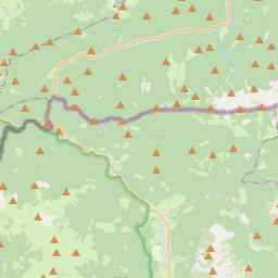
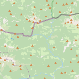
Sur la carte
Dernier prix
—
Prix plancher
—
Médiane 7 j
—
Ventes 30 j
0
Fourchette 30 j
—
En circulation
0
Cours
médiane
min – max
ventes
Aucune vente sur la période
Voir le tableau
| Date | médiane | Min | Max | ventes |
|---|
Historique des ventes
- Dernière vente
- —
- Moyenne 30 j
- —
- Plus bas 30 j
- —
- Plus haut 30 j
- —
- Ventes 7 j
- 0
- Ventes 30 j
- 0
Aucune vente pour l'instant.
Ventes anonymes : ni acheteur ni vendeur. Les chiffres ne comptent que les ventes entre joueurs.
Sur Wikipédia
Texte en anglais Pas encore d'article dans ta langue : extrait en anglais.
The Hirschberg (German pronunciation: [ˈhɪʁʃˌbɛʁk] ) is a 1,670-metre-high (5,479 ft) mountain in the Bavarian Fore-alps south of Lake Tegernsee. The summit may be reached via a gentle mountain path either from Scharling, Kreuth or Bad Wiessee, all three routes being classified as not difficult. Below the summit at a height of 1,520 m is the Hirschberghaus restaurant, which is open all-year. The Hirschberg is the Tegernsee's observation point with an extensive panorama in all directions of the compass. In winter it is climbed by skiers from Kreuth via the Rauheck Alm or on foot from Scharling. The path is a gentle walk via the toboggan run (Rodelbahn) as far as Hirschlacke, then becomes steep and, in places, icy as it runs along the so-called Kratzer to the Hirschberghaus and finally along the open ridge to the summit. The summer route is susceptible to avalanches in winter and should not be used at that time of year. The aforementioned Kratzer is a 1,544 m high sub-peak of the Hirschberg with a summit cross and the Hirschberghaus.
Texte : Wikipédia en anglais, CC BY-SA 4.0. · Image : Wikimedia Commons (CC BY-SA 3.0) ·
Cartes voisines

Jämtland
Province historique de la Suède
Nº Q211661 ★★★

Détroit de Taïwan
Bras de mer séparant Taïwan de la Chine continentale
Nº Q127031 ★★★

Mont Djoudi
Nº Q1143135 ★★★

New Braunfels
Ville du comté de Comal, Texas, États-Unis
Nº Q574612 ★★★

Port Harcourt
Ville du Nigeria
Nº Q217432 ★★★

John o' Groats
Localité britannique
Nº Q987766 ★★★