
Joch Pass
Mountain pass in Switzerland, connecting Innertkirchen in the canton of Bern with Engelberg in the canton of Obwalden
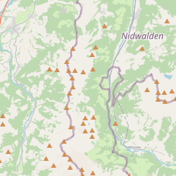
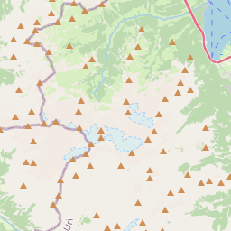
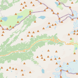
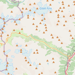
The Joch Pass (German: Jochpass) is a mountain pass of the Uri Alps, located between the Bernese Oberland and Central Switzerland, at the foot of the Titlis. The pass crosses the col between the peaks of Graustock and Jochstock, at an elevation of 2,207 m (7,241 ft) and at the border between the cantons of Bern and Nidwalden.
Nº Q6207207 ★★
Poco común · Lugares
Joch Pass
Mountain pass in Switzerland, connecting Innertkirchen in the canton of Bern with Engelberg in the canton of Obwalden
The Joch Pass (German: Jochpass) is a mountain pass of the Uri Alps, located between the Bernese Oberland and Central Switzerland, at the foot of the Titlis. The pass crosses the col between the peaks of Graustock and Jochstock, at an elevation of 2,207 m (7,241 ft) and at the border between the cantons of Bern and Nidwalden.
En el mapa
Último precio
—
Precio mínimo
—
Mediana 7 d
—
Ventas 30 d
0
Rango 30 d
—
En circulación
0
Cotización
mediana
mín – máx
ventas
Sin ventas en el periodo
Ver tabla
| Fecha | mediana | Mín | Máx | ventas |
|---|
Historial de ventas
- Última venta
- —
- Media 30 d
- —
- Mínimo 30 d
- —
- Máximo 30 d
- —
- Ventas 7 d
- 0
- Ventas 30 d
- 0
Aún no hay ventas.
Ventas anónimas: sin comprador ni vendedor. Las cifras solo cuentan ventas entre jugadores.
En Wikipedia
Texto en inglés Aún no hay artículo en tu idioma: extracto en inglés.
The Joch Pass (German: Jochpass) is a mountain pass of the Uri Alps, located between the Bernese Oberland and Central Switzerland, at the foot of the Titlis. The pass crosses the col between the peaks of Graustock and Jochstock, at an elevation of 2,207 m (7,241 ft) and at the border between the cantons of Bern and Nidwalden. The pass is traversed by a mule track, now used by hikers and mountain bikers, which connects the town of Engelberg, in the canton of Obwalden and at an elevation of 1,000 m (3,300 ft), with the town of Meiringen, in the canton of Bern and at an elevation of 595 m (1,952 ft). The track forms part of the Alpine Pass Route, a long-distance hiking trail across Switzerland between Sargans and Montreux.
Texto: Wikipedia en inglés, CC BY-SA 4.0. · Imagen: Andreas Faessler (CC BY-SA 3.0) ·
Cartas cercanas
-

Benkerjoch Pass
Mountain pass
Nº Q681046 ★★
Sin ofertas
-

Oberjoch Pass
Mountain pass in the Allgäu Alps in Bavaria, Germany, near to the border with Tyrol, Austria
Nº Q454956 ★★★
Sin ofertas
-

Tuxer Joch
Mountain pass between Zillertal / Tux Alps in Tyrol
Nº Q873294 ★
Sin ofertas
-

Paso Bernina
Nº Q204774 ★★★
Sin ofertas
-

Jungfraujoch
Montaña de los Alpes berneses
Nº Q665676 ★★★★
Sin ofertas
-

Paso de Umbrail
Nº Q665026 ★★★★
Sin ofertas