


Joch Pass
Mountain pass in Switzerland, connecting Innertkirchen in the canton of Bern with Engelberg in the canton of Obwalden
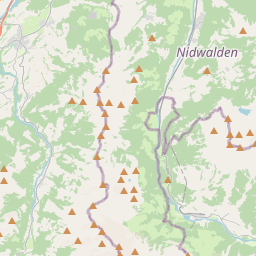
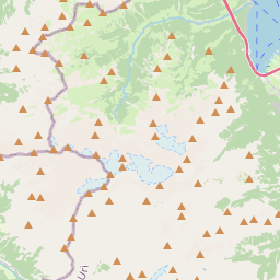
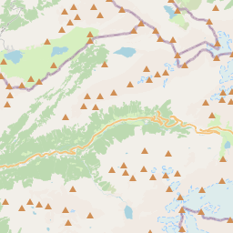
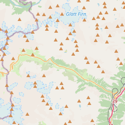
The Joch Pass (German: Jochpass) is a mountain pass of the Uri Alps, located between the Bernese Oberland and Central Switzerland, at the foot of the Titlis. The pass crosses the col between the peaks of Graustock and Jochstock, at an elevation of 2,207 m (7,241 ft) and at the border between the cantons of Bern and Nidwalden.
Nº Q6207207 ★★
Peu commune · Lieux
Joch Pass
Mountain pass in Switzerland, connecting Innertkirchen in the canton of Bern with Engelberg in the canton of Obwalden
The Joch Pass (German: Jochpass) is a mountain pass of the Uri Alps, located between the Bernese Oberland and Central Switzerland, at the foot of the Titlis. The pass crosses the col between the peaks of Graustock and Jochstock, at an elevation of 2,207 m (7,241 ft) and at the border between the cantons of Bern and Nidwalden.
Sur la carte
Dernier prix
—
Prix plancher
—
Médiane 7 j
—
Ventes 30 j
0
Fourchette 30 j
—
En circulation
0
Cours
médiane
min – max
ventes
Aucune vente sur la période
Voir le tableau
| Date | médiane | Min | Max | ventes |
|---|
Historique des ventes
- Dernière vente
- —
- Moyenne 30 j
- —
- Plus bas 30 j
- —
- Plus haut 30 j
- —
- Ventes 7 j
- 0
- Ventes 30 j
- 0
Aucune vente pour l'instant.
Ventes anonymes : ni acheteur ni vendeur. Les chiffres ne comptent que les ventes entre joueurs.
Sur Wikipédia
Texte en anglais Pas encore d'article dans ta langue : extrait en anglais.
The Joch Pass (German: Jochpass) is a mountain pass of the Uri Alps, located between the Bernese Oberland and Central Switzerland, at the foot of the Titlis. The pass crosses the col between the peaks of Graustock and Jochstock, at an elevation of 2,207 m (7,241 ft) and at the border between the cantons of Bern and Nidwalden. The pass is traversed by a mule track, now used by hikers and mountain bikers, which connects the town of Engelberg, in the canton of Obwalden and at an elevation of 1,000 m (3,300 ft), with the town of Meiringen, in the canton of Bern and at an elevation of 595 m (1,952 ft). The track forms part of the Alpine Pass Route, a long-distance hiking trail across Switzerland between Sargans and Montreux.
Texte : Wikipédia en anglais, CC BY-SA 4.0. · Image : Andreas Faessler (CC BY-SA 3.0) ·
Cartes voisines
-

Col de Surenen
Col suisse
Nº Q2368438 ★★
Pas en vente
-

Benkerjoch Pass
Mountain pass
Nº Q681046 ★★
Pas en vente
-

Oberjoch Pass
Mountain pass in the Allgäu Alps in Bavaria, Germany, near to the border with Tyrol, Austria
Nº Q454956 ★★★
Pas en vente
-

Ibergeregg
Col suisse
Nº Q683718 ★★
Pas en vente
-

Hochjoch
Mountain pass at the border Tyrol / South Tyrol
Nº Q782277 ★
Pas en vente
-

Tuxer Joch
Mountain pass between Zillertal / Tux Alps in Tyrol
Nº Q873294 ★
Pas en vente