
Marchfeld
Llanura de Austria
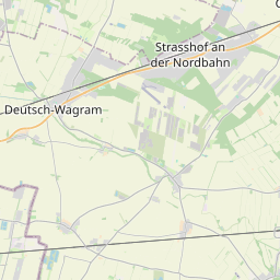
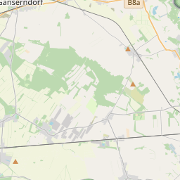
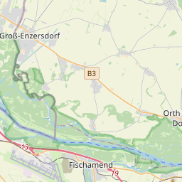
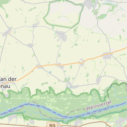
The Marchfeld (German pronunciation: [ˈmarçfɛlt] ) is a 900 km² sedimentary basin in Lower Austria, that borders Vienna to the east. Geologically, the Marchfeld constitutes the northern half of the Vienna Basin, which spans about 60 kilometers along the Danube.
Nº Q383169 ★★★
Rara · Lugares
Marchfeld
Llanura de Austria
The Marchfeld (German pronunciation: [ˈmarçfɛlt] ) is a 900 km² sedimentary basin in Lower Austria, that borders Vienna to the east. Geologically, the Marchfeld constitutes the northern half of the Vienna Basin, which spans about 60 kilometers along the Danube.
En el mapa
Último precio
—
Precio mínimo
—
Mediana 7 d
—
Ventas 30 d
0
Rango 30 d
—
En circulación
0
Cotización
mediana
mín – máx
ventas
Sin ventas en el periodo
Ver tabla
| Fecha | mediana | Mín | Máx | ventas |
|---|
Historial de ventas
- Última venta
- —
- Media 30 d
- —
- Mínimo 30 d
- —
- Máximo 30 d
- —
- Ventas 7 d
- 0
- Ventas 30 d
- 0
Aún no hay ventas.
Ventas anónimas: sin comprador ni vendedor. Las cifras solo cuentan ventas entre jugadores.
En Wikipedia
Texto en inglés Aún no hay artículo en tu idioma: extracto en inglés.
The Marchfeld (German pronunciation: [ˈmarçfɛlt] ) is a 900 km² sedimentary basin in Lower Austria, that borders Vienna to the east. Geologically, the Marchfeld constitutes the northern half of the Vienna Basin, which spans about 60 kilometers along the Danube. The Marchfeld traditionally served as Vienna’s vegetable supplier and Austria’s breadbasket. Economically, it has been significant since the 1930s due to its oil and natural gas deposits. Architecturally, the region is notable for its Baroque churches, town squares, and the Marchfeld castles.
Texto: Wikipedia en inglés, CC BY-SA 4.0. · Imagen: Hansueli Krapf This file was uploaded with Commonist. (CC BY-SA 3.0) ·
Cartas cercanas

Marca de Austria
Marcha de la frontera sureste del Sacro Imperio Romano Germánico, 976–1156
Nº Q283627 ★★★

Weinviertel
Nº Q701613 ★★★★

Tulln Basin
Alluvial plain in Lower Austria
Nº Q2459519 ★★

Cuenca de Viena
Cuenca sedimentaria de Viena
Nº Q688715 ★★★

Parque nacional Danubio-Auen
Área protegida de Austria
Nº Q474886 ★★

Marchegg
Nº Q546273 ★★