
Marchfeld
Plain in Austria
The Marchfeld (German pronunciation: [ˈmarçfɛlt] ) is a 900 km² sedimentary basin in Lower Austria, that borders Vienna to the east. Geologically, the Marchfeld constitutes the northern half of the Vienna Basin, which spans about 60 kilometers along the Danube.
Nº Q383169 ★★★
Rare · Lieux
Marchfeld
Plain in Austria
The Marchfeld (German pronunciation: [ˈmarçfɛlt] ) is a 900 km² sedimentary basin in Lower Austria, that borders Vienna to the east. Geologically, the Marchfeld constitutes the northern half of the Vienna Basin, which spans about 60 kilometers along the Danube.
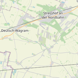
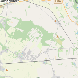
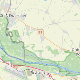
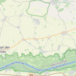
Sur la carte
Dernier prix
—
Prix plancher
—
Médiane 7 j
—
Ventes 30 j
0
Fourchette 30 j
—
En circulation
0
Cours
médiane
min – max
ventes
Aucune vente sur la période
Voir le tableau
| Date | médiane | Min | Max | ventes |
|---|
Historique des ventes
- Dernière vente
- —
- Moyenne 30 j
- —
- Plus bas 30 j
- —
- Plus haut 30 j
- —
- Ventes 7 j
- 0
- Ventes 30 j
- 0
Aucune vente pour l'instant.
Ventes anonymes : ni acheteur ni vendeur. Les chiffres ne comptent que les ventes entre joueurs.
Sur Wikipédia
Texte en anglais Pas encore d'article dans ta langue : extrait en anglais.
The Marchfeld (German pronunciation: [ˈmarçfɛlt] ) is a 900 km² sedimentary basin in Lower Austria, that borders Vienna to the east. Geologically, the Marchfeld constitutes the northern half of the Vienna Basin, which spans about 60 kilometers along the Danube. The Marchfeld traditionally served as Vienna’s vegetable supplier and Austria’s breadbasket. Economically, it has been significant since the 1930s due to its oil and natural gas deposits. Architecturally, the region is notable for its Baroque churches, town squares, and the Marchfeld castles.
Texte : Wikipédia en anglais, CC BY-SA 4.0. · Image : Hansueli Krapf This file was uploaded with Commonist. (CC BY-SA 3.0) ·


