
Sa'sa', Syria
Town in Rif Dimashq Governorate, Syria
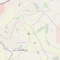
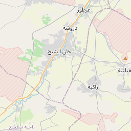
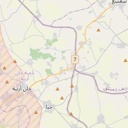
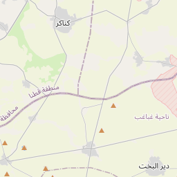
Sa'sa' (Arabic: سعسع, romanized: Saʾsaʾ, also spelled Saasaa) is a town in southwestern Syria, administratively part of the Rif Dimashq Governorate, located southwest of Damascus near the Golan Heights (Quneitra Governorate), in the portion of the province under Syrian control. Nearby localities include Kafr Hawr to the north, Kanaker to the east, Khan Arnabah to the southwest, and Deir Maker to the south.
Nº Q15274187 ★★★
Rara · Lugares
Sa'sa', Syria
Town in Rif Dimashq Governorate, Syria
Sa'sa' (Arabic: سعسع, romanized: Saʾsaʾ, also spelled Saasaa) is a town in southwestern Syria, administratively part of the Rif Dimashq Governorate, located southwest of Damascus near the Golan Heights (Quneitra Governorate), in the portion of the province under Syrian control. Nearby localities include Kafr Hawr to the north, Kanaker to the east, Khan Arnabah to the southwest, and Deir Maker to the south.
En el mapa
Último precio
—
Precio mínimo
—
Mediana 7 d
—
Ventas 30 d
0
Rango 30 d
—
En circulación
0
Cotización
mediana
mín – máx
ventas
Sin ventas en el periodo
Ver tabla
| Fecha | mediana | Mín | Máx | ventas |
|---|
Historial de ventas
- Última venta
- —
- Media 30 d
- —
- Mínimo 30 d
- —
- Máximo 30 d
- —
- Ventas 7 d
- 0
- Ventas 30 d
- 0
Aún no hay ventas.
Ventas anónimas: sin comprador ni vendedor. Las cifras solo cuentan ventas entre jugadores.
En Wikipedia
Texto en inglés Aún no hay artículo en tu idioma: extracto en inglés.
Sa'sa' (Arabic: سعسع, romanized: Saʾsaʾ, also spelled Saasaa) is a town in southwestern Syria, administratively part of the Rif Dimashq Governorate, located southwest of Damascus near the Golan Heights (Quneitra Governorate), in the portion of the province under Syrian control. Nearby localities include Kafr Hawr to the north, Kanaker to the east, Khan Arnabah to the southwest, and Deir Maker to the south. According to the Syria Central Bureau of Statistics, Sa'sa' had a population of 9,945 in the 2004 census. The town is also the administrative centre of—though not the largest town in—the Sa'sa' nahiyah, which is made up of 19 settlements having a combined population of 45,233. From the medieval period, Sa'sa' gained importance as a halting place on the road between Damascus and Jerusalem. In the 1580s, the Ottomans invested in establishing a village and caravansary complex in Sa'sa' to serve the travelers and pilgrims stopping there and protecting them from Bedouin depredations. The partly intact remains of the 16th-century caravansary complex, Khan Sa'sa', are located in the old village on the north side of the modern town.
Texto: Wikipedia en inglés, CC BY-SA 4.0. · Imagen: NordNordWest (CC BY-SA 3.0 de) ·


