
Sa'sa', Syria
Town in Rif Dimashq Governorate, Syria
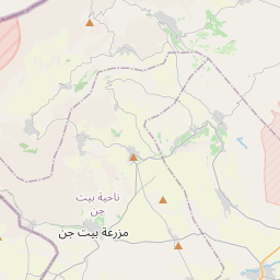
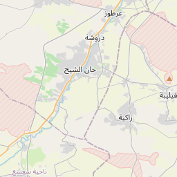
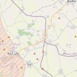
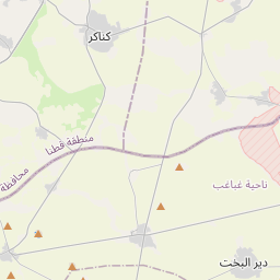
Sa'sa' (Arabic: سعسع, romanized: Saʾsaʾ, also spelled Saasaa) is a town in southwestern Syria, administratively part of the Rif Dimashq Governorate, located southwest of Damascus near the Golan Heights (Quneitra Governorate), in the portion of the province under Syrian control. Nearby localities include Kafr Hawr to the north, Kanaker to the east, Khan Arnabah to the southwest, and Deir Maker to the south.
Nº Q15274187 ★★★
Rare · Lieux
Sa'sa', Syria
Town in Rif Dimashq Governorate, Syria
Sa'sa' (Arabic: سعسع, romanized: Saʾsaʾ, also spelled Saasaa) is a town in southwestern Syria, administratively part of the Rif Dimashq Governorate, located southwest of Damascus near the Golan Heights (Quneitra Governorate), in the portion of the province under Syrian control. Nearby localities include Kafr Hawr to the north, Kanaker to the east, Khan Arnabah to the southwest, and Deir Maker to the south.
Sur la carte
Dernier prix
—
Prix plancher
—
Médiane 7 j
—
Ventes 30 j
0
Fourchette 30 j
—
En circulation
0
Cours
médiane
min – max
ventes
Aucune vente sur la période
Voir le tableau
| Date | médiane | Min | Max | ventes |
|---|
Historique des ventes
- Dernière vente
- —
- Moyenne 30 j
- —
- Plus bas 30 j
- —
- Plus haut 30 j
- —
- Ventes 7 j
- 0
- Ventes 30 j
- 0
Aucune vente pour l'instant.
Ventes anonymes : ni acheteur ni vendeur. Les chiffres ne comptent que les ventes entre joueurs.
Sur Wikipédia
Texte en anglais Pas encore d'article dans ta langue : extrait en anglais.
Sa'sa' (Arabic: سعسع, romanized: Saʾsaʾ, also spelled Saasaa) is a town in southwestern Syria, administratively part of the Rif Dimashq Governorate, located southwest of Damascus near the Golan Heights (Quneitra Governorate), in the portion of the province under Syrian control. Nearby localities include Kafr Hawr to the north, Kanaker to the east, Khan Arnabah to the southwest, and Deir Maker to the south. According to the Syria Central Bureau of Statistics, Sa'sa' had a population of 9,945 in the 2004 census. The town is also the administrative centre of—though not the largest town in—the Sa'sa' nahiyah, which is made up of 19 settlements having a combined population of 45,233. From the medieval period, Sa'sa' gained importance as a halting place on the road between Damascus and Jerusalem. In the 1580s, the Ottomans invested in establishing a village and caravansary complex in Sa'sa' to serve the travelers and pilgrims stopping there and protecting them from Bedouin depredations. The partly intact remains of the 16th-century caravansary complex, Khan Sa'sa', are located in the old village on the north side of the modern town.
Texte : Wikipédia en anglais, CC BY-SA 4.0. · Image : NordNordWest (CC BY-SA 3.0 de) ·
Cartes voisines

Lurcy-Lévis
Commune française du département de l'Allier
Nº Q271996 ★★★

Province de la Baie-du-Massachusetts
Ancienne colonie britannique en Amérique du Nord
Nº Q2079909 ★★★

Kumasi
Capitale de la région Ashanti et capitale historique de l'Empire ashanti, Ghana
Nº Q182059 ★★★

Séleucie du Tigre
Ville antique en Mésopotamie
Nº Q1136681 ★★★

Temple du grand jaguar
Nº Q2185890 ★★★

Kalinovka (raïon de Khomoutovka)
Village russe
Nº Q957273 ★★★