

Commune · Lieux
Calenberg Uplands
Mountain range
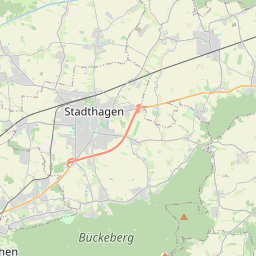
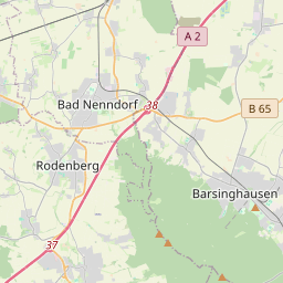
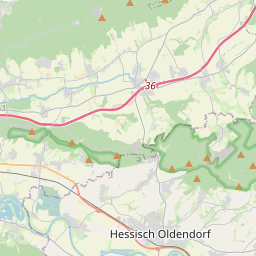
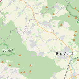
The Calenberg Uplands (German: Calenberger Bergland) are a landscape unit in the Weser-Leine Uplands in Lower Saxony, Germany. They border on the Calenberg Land to the north and merge into the Weser Uplands in the west and the Leine Uplands in the east. They are dissected by the Deister-Süntel and Aue valleys.
Sur la carte
Sur Wikipédia
Texte en anglais Pas encore d'article dans ta langue : extrait en anglais.
The Calenberg Uplands (German: Calenberger Bergland) are a landscape unit in the Weser-Leine Uplands in Lower Saxony, Germany. They border on the Calenberg Land to the north and merge into the Weser Uplands in the west and the Leine Uplands in the east. They are dissected by the Deister-Süntel and Aue valleys. The following ridges belong to the Calenberg Uplands: Bückeberg – 367 m above sea level (NN) Deister – 405 m above NN Harrl – 211 m above NN Kleiner Deister (L) – 346 m above NN Nesselberg (L) – 378 m above NN Osterwald (L) – 419 m above NN Süntel (W) – 437 m above NN Wesergebirge (W) – 340 m above NN Whilst the southwestern ridges of the Süntel and Weser Hills also belong to the Weser Uplands (W), the eastern heights of the Osterwald, Nesselberg and Kleiner Deister are grouped with the Leine Uplands (L).
Texte : Wikipédia en anglais, CC BY-SA 4.0. ·
Cartes voisines
-
 ★★
★★
Bückeberg
La plus haute altitude de la chaîne de montagnes Bückeberge dans le Calenberger Bergland, Basse-Saxe, Allemagne
-
 ★
★
Kleiner Deister
Mountains in Germany
-
 ★
★
Innerste Uplands
Mountain range in Lower Saxony, Germany
-
 ★
★
Osterwald (hills)
Mountain range
-
 ★★
★★
Leine Uplands
Mountains in Germany
-
 ★★
★★
Calenberg Land
Geographic region