
Korab
Mountain range in North Macedonia and Albania
Korab (Albanian: Mali i Korabit, Macedonian: Кораб) is a mountain range in eastern Albania and western North Macedonia, running along the border between the two countries. It forms also the European Green Belt.
Nº Q211616 ★
Commune · Lieux
Korab
Mountain range in North Macedonia and Albania
Korab (Albanian: Mali i Korabit, Macedonian: Кораб) is a mountain range in eastern Albania and western North Macedonia, running along the border between the two countries. It forms also the European Green Belt.
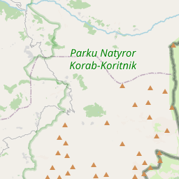
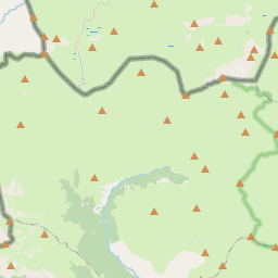
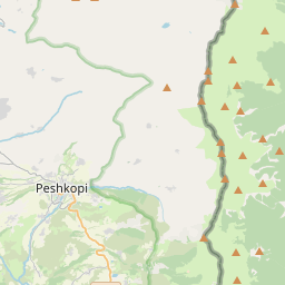
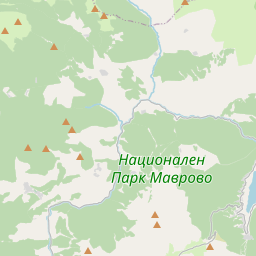
Sur la carte
Dernier prix
—
Prix plancher
—
Médiane 7 j
—
Ventes 30 j
0
Fourchette 30 j
—
En circulation
0
Cours
médiane
min – max
ventes
Aucune vente sur la période
Voir le tableau
| Date | médiane | Min | Max | ventes |
|---|
Historique des ventes
- Dernière vente
- —
- Moyenne 30 j
- —
- Plus bas 30 j
- —
- Plus haut 30 j
- —
- Ventes 7 j
- 0
- Ventes 30 j
- 0
Aucune vente pour l'instant.
Ventes anonymes : ni acheteur ni vendeur. Les chiffres ne comptent que les ventes entre joueurs.
Sur Wikipédia
Texte en anglais Pas encore d'article dans ta langue : extrait en anglais.
Korab (Albanian: Mali i Korabit, Macedonian: Кораб) is a mountain range in eastern Albania and western North Macedonia, running along the border between the two countries. It forms also the European Green Belt. In Albania, it is also called Vargu lindor (English: Eastern range), but this term encompasses mountains further north, such as the Koritnik and Gjallica. The highest peak is Mount Korab at 2,764 m (9,068 ft) above sea level. With a prominence of 2,169 m (7,116 ft), Korab is the 18th most prominent mountain peak in the European continent. The mountains are composed of sedimentary rock, including shale, sandstone, dolomite and limestone. The name means large boat in Macedonian. Geographically, the Korab mountain range extends 40 km (25 mi) from the Dibër Valley in a north-south direction, between the river valleys of the Black Drin and its tributary the Radika. It is located near the tripoint of Albania, North Macedonia, and Kosovo, southwest of the Šar Mountains. The Drin Valley lies around 400 m (1,300 ft) to the west, the bed of the Radika at about 1,000 m (3,300 ft) above sea level. The geology of the park is dominated by mountains made up of exposed faulted sedimentary rock and valleys containing glacial lakes. The Albanian part has numerous high peaks and ranges, almost as tall as the Korab massif. To the north of this double-peak, there are many other nameless peaks of a similar height. Korab-Pforte (Albanian: Maja Portat e Korabit, Macedonian: Mala Korapska Vrata) lies around 2 km (1.2 mi) southwest of Korab massif and is almost as tall as the main mountain, at 2,727 m (8,947 ft). A few hundred meters further south, there are other peaks, Maja e Moravës 2,718 m (8,917 ft) and Mali i Gramës 2,345 m (7,694 ft). The mountains are...
Texte : Wikipédia en anglais, CC BY-SA 4.0. · Image : Don macedone (Attribution) ·
Cartes voisines

Mont Korab
Montagne en Albanie et en Macédoine du Nord
Nº Q912579 ★★★

Albanie
Pays du Sud-Est de l'Europe
Nº Q222 ★★★★★★

Monts Šar
Chaîne de montagnes des Balkans
Nº Q391195 ★★

Grand Balkan
Chaîne de montagnes des Balkans située en Bulgarie et Serbie
Nº Q170427 ★★★

Prokletije
Alpes albanaises
Nº Q615771 ★★★

Kopaonik (montagne)
Montagne de Serbie et Kosovo
Nº Q1266471 ★★