
Korab
Mountain range in North Macedonia and Albania
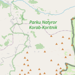
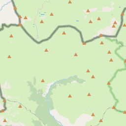
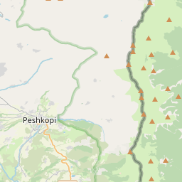
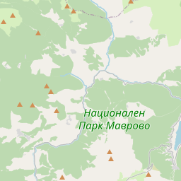
Korab (Albanian: Mali i Korabit, Macedonian: Кораб) is a mountain range in eastern Albania and western North Macedonia, running along the border between the two countries. It forms also the European Green Belt.
Nº Q211616 ★
Comum · Lugares
Korab
Mountain range in North Macedonia and Albania
Korab (Albanian: Mali i Korabit, Macedonian: Кораб) is a mountain range in eastern Albania and western North Macedonia, running along the border between the two countries. It forms also the European Green Belt.
No mapa
Último preço
—
Preço mínimo
—
Mediana 7 d
—
Vendas 30 d
0
Faixa 30 d
—
Em circulação
0
Cotação
mediana
mín – máx
vendas
Sem vendas no período
Ver tabela
| Data | mediana | Mín | Máx | vendas |
|---|
Histórico de vendas
- Última venda
- —
- Média 30 d
- —
- Mínima 30 d
- —
- Máxima 30 d
- —
- Vendas 7 d
- 0
- Vendas 30 d
- 0
Ainda sem vendas.
Vendas anônimas: sem comprador nem vendedor. Os números contam só vendas entre jogadores.
Na Wikipédia
Texto em inglês Ainda não há artigo no seu idioma: trecho em inglês.
Korab (Albanian: Mali i Korabit, Macedonian: Кораб) is a mountain range in eastern Albania and western North Macedonia, running along the border between the two countries. It forms also the European Green Belt. In Albania, it is also called Vargu lindor (English: Eastern range), but this term encompasses mountains further north, such as the Koritnik and Gjallica. The highest peak is Mount Korab at 2,764 m (9,068 ft) above sea level. With a prominence of 2,169 m (7,116 ft), Korab is the 18th most prominent mountain peak in the European continent. The mountains are composed of sedimentary rock, including shale, sandstone, dolomite and limestone. The name means large boat in Macedonian. Geographically, the Korab mountain range extends 40 km (25 mi) from the Dibër Valley in a north-south direction, between the river valleys of the Black Drin and its tributary the Radika. It is located near the tripoint of Albania, North Macedonia, and Kosovo, southwest of the Šar Mountains. The Drin Valley lies around 400 m (1,300 ft) to the west, the bed of the Radika at about 1,000 m (3,300 ft) above sea level. The geology of the park is dominated by mountains made up of exposed faulted sedimentary rock and valleys containing glacial lakes. The Albanian part has numerous high peaks and ranges, almost as tall as the Korab massif. To the north of this double-peak, there are many other nameless peaks of a similar height. Korab-Pforte (Albanian: Maja Portat e Korabit, Macedonian: Mala Korapska Vrata) lies around 2 km (1.2 mi) southwest of Korab massif and is almost as tall as the main mountain, at 2,727 m (8,947 ft). A few hundred meters further south, there are other peaks, Maja e Moravës 2,718 m (8,917 ft) and Mali i Gramës 2,345 m (7,694 ft). The mountains are...
Texto: Wikipédia em inglês, CC BY-SA 4.0. · Imagem: Don macedone (Attribution) ·
Cartas próximas
-

Monte Korab
Nº Q912579 ★★★
Sem ofertas
-

Albânia
Pequeno país montanhoso da península Balcânica, no sudeste da Europa
Nº Q222 ★★★★★★
Sem ofertas
-

Šar Mountains
Mountain range in the eastern Balkan Peninsula
Nº Q391195 ★★
Sem ofertas
-

Cordilheira Balcânica
Nº Q170427 ★★★
Sem ofertas
-

Rtanj
Mountain range in Serbia
Nº Q46047 ★★
Sem ofertas
-

Prokletija
Nº Q615771 ★★★
Sem ofertas