Punggol
Planning area and residential town in North-East Region, Singapore
Punggol (IPA: PONG-gohl) is a planning area and new town situated on the Tanjong Punggol peninsula in the North-East Region of Singapore. The town directly borders Sengkang to the south and shares riverine boundaries with the planning area of Seletar to the west and Pasir Ris to the east.
Nº Q7260156 ★
Commune · Lieux
Punggol
Planning area and residential town in North-East Region, Singapore
Punggol (IPA: PONG-gohl) is a planning area and new town situated on the Tanjong Punggol peninsula in the North-East Region of Singapore. The town directly borders Sengkang to the south and shares riverine boundaries with the planning area of Seletar to the west and Pasir Ris to the east.
Sur la carte
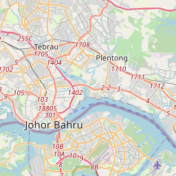
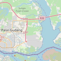
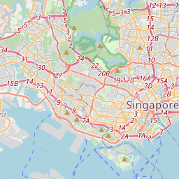
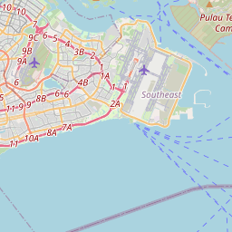
Dernier prix
—
Prix plancher
—
Médiane 7 j
—
Ventes 30 j
0
Fourchette 30 j
—
En circulation
0
Cours
médiane
min – max
ventes
Aucune vente sur la période
Voir le tableau
| Date | médiane | Min | Max | ventes |
|---|
Historique des ventes
- Dernière vente
- —
- Moyenne 30 j
- —
- Plus bas 30 j
- —
- Plus haut 30 j
- —
- Ventes 7 j
- 0
- Ventes 30 j
- 0
Aucune vente pour l'instant.
Ventes anonymes : ni acheteur ni vendeur. Les chiffres ne comptent que les ventes entre joueurs.
Sur Wikipédia
Texte en anglais Pas encore d'article dans ta langue : extrait en anglais.
Punggol (IPA: PONG-gohl) is a planning area and new town situated on the Tanjong Punggol peninsula in the North-East Region of Singapore. The town directly borders Sengkang to the south and shares riverine boundaries with the planning area of Seletar to the west and Pasir Ris to the east. Bounding the town to the north and north-east is the Straits of Johor, with Coney Island included as a part of the Punggol planning area. Under the Punggol 21 initiative, there were initial plans in the 1990s to turn the area into an extensive residential town, and development started in 1998. However, the plan slowed throughout the 2000s due to the Asian financial crisis in 1997 and financial troubles within the construction industry in 2003, before construction development resumed during the late 2010s and the 2020s. In 2007, a new initiative, the Punggol 21 Plus plan, was introduced to redevelop the area into a waterfront town. This led to the development of Punggol Waterway, Singapore's largest man-made waterway. Punggol is further divided into 7 subzones: Coney Island, Matilda, Northshore, Punggol Canal, Punggol Field, Punggol Town Centre and Waterway East.
Texte : Wikipédia en anglais, CC BY-SA 4.0. ·
Cartes voisines
-
S
Sengkang
Planning area in North-East Region, Singapore
Nº Q10861365 ★
Pas en vente
-

Sembawang
Planning area and residential town in North Region, Singapore
Nº Q7449155 ★
Pas en vente
-

Jurong East
Residential town in Singapore
Nº Q1714023 ★
Pas en vente
-
B
Bedok
Planning area and residential town in East Region of Singapore
Nº Q4879339 ★
Pas en vente
-
H
Hougang
Planning area and town in Singapore
Nº Q10860944 ★
Pas en vente
-

Kallang
Nº Q4216846 ★
Pas en vente