

Punggol
Planning area and residential town in North-East Region, Singapore
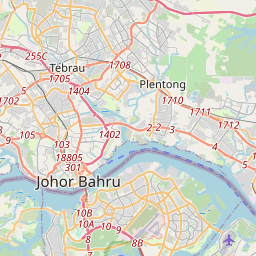
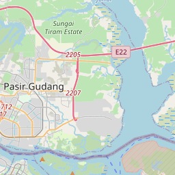
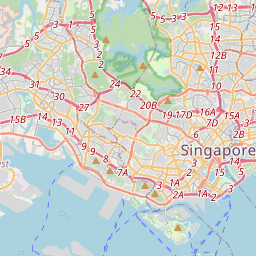
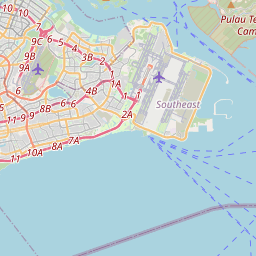
Punggol (IPA: PONG-gohl) is a planning area and new town situated on the Tanjong Punggol peninsula in the North-East Region of Singapore. The town directly borders Sengkang to the south and shares riverine boundaries with the planning area of Seletar to the west and Pasir Ris to the east.
Nº Q7260156 ★
Comum · Lugares
Punggol
Planning area and residential town in North-East Region, Singapore
Punggol (IPA: PONG-gohl) is a planning area and new town situated on the Tanjong Punggol peninsula in the North-East Region of Singapore. The town directly borders Sengkang to the south and shares riverine boundaries with the planning area of Seletar to the west and Pasir Ris to the east.
No mapa
Último preço
—
Preço mínimo
—
Mediana 7 d
—
Vendas 30 d
0
Faixa 30 d
—
Em circulação
0
Cotação
mediana
mín – máx
vendas
Sem vendas no período
Ver tabela
| Data | mediana | Mín | Máx | vendas |
|---|
Histórico de vendas
- Última venda
- —
- Média 30 d
- —
- Mínima 30 d
- —
- Máxima 30 d
- —
- Vendas 7 d
- 0
- Vendas 30 d
- 0
Ainda sem vendas.
Vendas anônimas: sem comprador nem vendedor. Os números contam só vendas entre jogadores.
Na Wikipédia
Texto em inglês Ainda não há artigo no seu idioma: trecho em inglês.
Punggol (IPA: PONG-gohl) is a planning area and new town situated on the Tanjong Punggol peninsula in the North-East Region of Singapore. The town directly borders Sengkang to the south and shares riverine boundaries with the planning area of Seletar to the west and Pasir Ris to the east. Bounding the town to the north and north-east is the Straits of Johor, with Coney Island included as a part of the Punggol planning area. Under the Punggol 21 initiative, there were initial plans in the 1990s to turn the area into an extensive residential town, and development started in 1998. However, the plan slowed throughout the 2000s due to the Asian financial crisis in 1997 and financial troubles within the construction industry in 2003, before construction development resumed during the late 2010s and the 2020s. In 2007, a new initiative, the Punggol 21 Plus plan, was introduced to redevelop the area into a waterfront town. This led to the development of Punggol Waterway, Singapore's largest man-made waterway. Punggol is further divided into 7 subzones: Coney Island, Matilda, Northshore, Punggol Canal, Punggol Field, Punggol Town Centre and Waterway East.
Texto: Wikipédia em inglês, CC BY-SA 4.0. ·
Cartas próximas
-

Pasir Ris
Planning area and residential town in the East Region of Singapore
Nº Q4259440 ★
Sem ofertas
-
S
Sengkang
Planning area in North-East Region, Singapore
Nº Q10861365 ★
Sem ofertas
-

Tengah, Singapore
Planning area and future HDB town in Singapore
Nº Q7699745 ★
Sem ofertas
-

Sembawang
Planning area and residential town in North Region, Singapore
Nº Q7449155 ★
Sem ofertas
-

Jurong
Residential town in Singapore
Nº Q1714023 ★
Sem ofertas
-
B
Bedok
Planning area and residential town in East Region of Singapore
Nº Q4879339 ★
Sem ofertas