
Barisha, Harem District
Village in Syria
Barisha (Arabic: بَارِيشَا, Bārīšā; also spelled Baricha and Barischa) is a village in northwestern Syria, administratively part of Harem District in the Idlib Governorate. In the 2004 Syrian census Barisha was listed with a population of 1,143. More recent reports place the population at about 7,000.
Nº Q808207 ★
Comum · Lugares
Barisha, Harem District
Village in Syria
Barisha (Arabic: بَارِيشَا, Bārīšā; also spelled Baricha and Barischa) is a village in northwestern Syria, administratively part of Harem District in the Idlib Governorate. In the 2004 Syrian census Barisha was listed with a population of 1,143. More recent reports place the population at about 7,000.
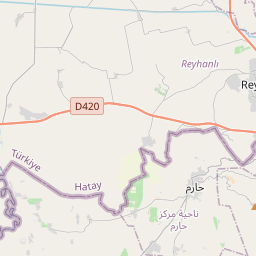
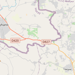
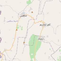
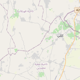
No mapa
Último preço
—
Preço mínimo
—
Mediana 7 d
—
Vendas 30 d
0
Faixa 30 d
—
Em circulação
0
Cotação
mediana
mín – máx
vendas
Sem vendas no período
Ver tabela
| Data | mediana | Mín | Máx | vendas |
|---|
Histórico de vendas
- Última venda
- —
- Média 30 d
- —
- Mínima 30 d
- —
- Máxima 30 d
- —
- Vendas 7 d
- 0
- Vendas 30 d
- 0
Ainda sem vendas.
Vendas anônimas: sem comprador nem vendedor. Os números contam só vendas entre jogadores.
Na Wikipédia
Texto em inglês Ainda não há artigo no seu idioma: trecho em inglês.
Barisha (Arabic: بَارِيشَا, Bārīšā; also spelled Baricha and Barischa) is a village in northwestern Syria, administratively part of Harem District in the Idlib Governorate. In the 2004 Syrian census Barisha was listed with a population of 1,143. More recent reports place the population at about 7,000. It is situated in the A'la Mountain and is part of an area known as the "Dead Cities." Barisha is located in Harem District of Idlib Governorate in the Ala Mountains near the Syrian border with Turkey. It is in the central region of the northern Syrian limestone massif, about 5 kilometres (3.1 mi) from Qalb Loze across a valley. The karst topography of the limestone left many small caves, some of which were habitations. Barish is located on the site of an ancient settlement, Dayhis. There are early Byzantine period ruins including residential buildings, cisterns, olive presses, and a church in the village. The modern village is about 500 metres (1,640 ft) north of the ruins. The ruins are surrounded by olive groves and small plots of mostly wheat.
Texto: Wikipédia em inglês, CC BY-SA 4.0. · Imagem: Bertramz (CC BY-SA 3.0) ·


