
Churapchinsky District
Municipal district in Russia
Churapchinsky District (Russian: Чурапчинский улу́с; Yakut: Чурапчы улууһа, Çurapçı uluuha, Yakut pronunciation: [t͡ʃuɾapˈt͡ʃɯ uluːha]) is an administrative and municipal district (raion, or ulus), one of the thirty-four in the Sakha Republic, Russia. It is located in the center of the republic and borders Tattinsky District in the north, Ust-Maysky District in the east and southeast, Amginsky District in the south, Megino-Kangalassky District in the west, and Ust-Aldansky District in the northwest.
Nº Q375163 ★★
Incomum · Lugares
Churapchinsky District
Municipal district in Russia
Churapchinsky District (Russian: Чурапчинский улу́с; Yakut: Чурапчы улууһа, Çurapçı uluuha, Yakut pronunciation: [t͡ʃuɾapˈt͡ʃɯ uluːha]) is an administrative and municipal district (raion, or ulus), one of the thirty-four in the Sakha Republic, Russia. It is located in the center of the republic and borders Tattinsky District in the north, Ust-Maysky District in the east and southeast, Amginsky District in the south, Megino-Kangalassky District in the west, and Ust-Aldansky District in the northwest.
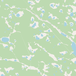
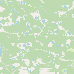
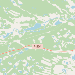
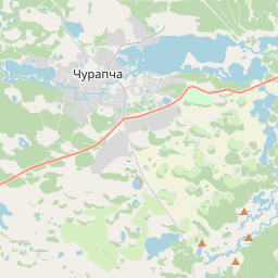
No mapa
Último preço
—
Preço mínimo
—
Mediana 7 d
—
Vendas 30 d
0
Faixa 30 d
—
Em circulação
0
Cotação
mediana
mín – máx
vendas
Sem vendas no período
Ver tabela
| Data | mediana | Mín | Máx | vendas |
|---|
Histórico de vendas
- Última venda
- —
- Média 30 d
- —
- Mínima 30 d
- —
- Máxima 30 d
- —
- Vendas 7 d
- 0
- Vendas 30 d
- 0
Ainda sem vendas.
Vendas anônimas: sem comprador nem vendedor. Os números contam só vendas entre jogadores.
Na Wikipédia
Texto em inglês Ainda não há artigo no seu idioma: trecho em inglês.
Churapchinsky District (Russian: Чурапчинский улу́с; Yakut: Чурапчы улууһа, Çurapçı uluuha, Yakut pronunciation: [t͡ʃuɾapˈt͡ʃɯ uluːha]) is an administrative and municipal district (raion, or ulus), one of the thirty-four in the Sakha Republic, Russia. It is located in the center of the republic and borders Tattinsky District in the north, Ust-Maysky District in the east and southeast, Amginsky District in the south, Megino-Kangalassky District in the west, and Ust-Aldansky District in the northwest. The area of the district is 12,600 square kilometers (4,900 sq mi). Its administrative center is the rural locality (a selo) of Churapcha. As of the 2010 Census, the total population of the district was 20,387, with the population of Churapcha accounting for 43.0% of that number.
Texto: Wikipédia em inglês, CC BY-SA 4.0. · Imagem: Тайыл (CC BY-SA 3.0) ·
Cartas próximas

Ust-Aldansky District
Municipal district in Russia
Nº Q1073189 ★★
Amginsky District
Municipal district in Russia
Nº Q694932 ★★

Tattinsky District
Municipal district in Yakutia, Russia
Nº Q639819 ★★

Suntarsky District
Municipal district in Russia
Nº Q570186 ★★

Khangalassky District
Municipal district in Yakutia, Russia
Nº Q1033514 ★★★

Namsky District
Municipal district in Russia
Nº Q1094044 ★★