
Tattinsky District
Municipal district in Yakutia, Russia
Tattinsky District (Russian: Таттинский улу́с; Yakut: Таатта улууһа, Taatta uluuha) is an administrative and municipal district (raion, or ulus), one of the thirty-four in the Sakha Republic, Russia. It is located in the eastern central part of the republic and borders with Tomponsky District in the north and east, Ust-Maysky District in the south, Churapchinsky District in the southwest, and with Ust-Aldansky District in the northwest.
Nº Q639819 ★★
Incomum · Lugares
Tattinsky District
Municipal district in Yakutia, Russia
Tattinsky District (Russian: Таттинский улу́с; Yakut: Таатта улууһа, Taatta uluuha) is an administrative and municipal district (raion, or ulus), one of the thirty-four in the Sakha Republic, Russia. It is located in the eastern central part of the republic and borders with Tomponsky District in the north and east, Ust-Maysky District in the south, Churapchinsky District in the southwest, and with Ust-Aldansky District in the northwest.
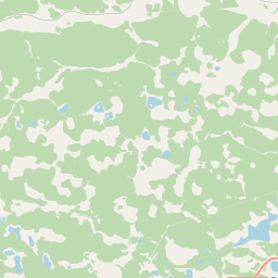
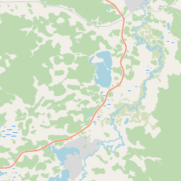
No mapa
Último preço
—
Preço mínimo
—
Mediana 7 d
—
Vendas 30 d
0
Faixa 30 d
—
Em circulação
0
Cotação
mediana
mín – máx
vendas
Sem vendas no período
Ver tabela
| Data | mediana | Mín | Máx | vendas |
|---|
Histórico de vendas
- Última venda
- —
- Média 30 d
- —
- Mínima 30 d
- —
- Máxima 30 d
- —
- Vendas 7 d
- 0
- Vendas 30 d
- 0
Ainda sem vendas.
Vendas anônimas: sem comprador nem vendedor. Os números contam só vendas entre jogadores.
Na Wikipédia
Texto em inglês Ainda não há artigo no seu idioma: trecho em inglês.
Tattinsky District (Russian: Таттинский улу́с; Yakut: Таатта улууһа, Taatta uluuha) is an administrative and municipal district (raion, or ulus), one of the thirty-four in the Sakha Republic, Russia. It is located in the eastern central part of the republic and borders with Tomponsky District in the north and east, Ust-Maysky District in the south, Churapchinsky District in the southwest, and with Ust-Aldansky District in the northwest. The area of the district is 19,000 square kilometers (7,300 sq mi). Its administrative center is the rural locality (a selo) of Ytyk-Kyuyol. Population: 17,242 (2010 census); 16,601 (2002 Census); 15,933 (1989 Soviet census). The population of Ytyk-Kyuyol accounts for 39.6% of the district's total population.
Texto: Wikipédia em inglês, CC BY-SA 4.0. · Imagem: NurgunEfrem (CC BY-SA 3.0) ·
Cartas próximas

Churapchinsky District
Municipal district in Russia
Nº Q375163 ★★

Ust-Aldansky District
Municipal district in Russia
Nº Q1073189 ★★

Khangalassky District
Municipal district in Yakutia, Russia
Nº Q1033514 ★★★

Oymyakonsky District
Municipal district in Yakutia, Russia
Nº Q569987 ★★

Tomponsky District
Municipal district in Russia
Nº Q1094037 ★★

Namsky District
Municipal district in Russia
Nº Q1094044 ★★