
Kalkrieser Berg
Mountain
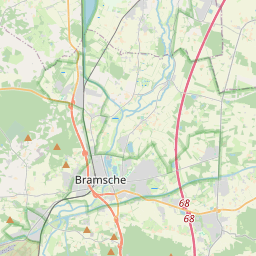
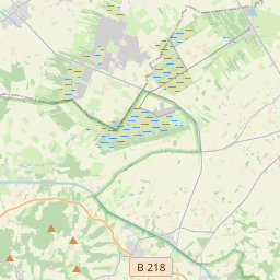
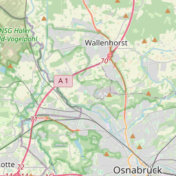
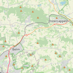
The Kalkrieser Berg (also called the Schmittenhöhe) is a hill, 157 m high, between the villages of Venne and Engter in the district of Osnabrück. The Kalkrieser Berg is a northern bulge of the Wiehen Hills.
Nº Q767809 ★★★
Rara · Lugares
Kalkrieser Berg
Mountain
The Kalkrieser Berg (also called the Schmittenhöhe) is a hill, 157 m high, between the villages of Venne and Engter in the district of Osnabrück. The Kalkrieser Berg is a northern bulge of the Wiehen Hills.
No mapa
Último preço
—
Preço mínimo
—
Mediana 7 d
—
Vendas 30 d
0
Faixa 30 d
—
Em circulação
0
Cotação
mediana
mín – máx
vendas
Sem vendas no período
Ver tabela
| Data | mediana | Mín | Máx | vendas |
|---|
Histórico de vendas
- Última venda
- —
- Média 30 d
- —
- Mínima 30 d
- —
- Máxima 30 d
- —
- Vendas 7 d
- 0
- Vendas 30 d
- 0
Ainda sem vendas.
Vendas anônimas: sem comprador nem vendedor. Os números contam só vendas entre jogadores.
Na Wikipédia
Texto em inglês Ainda não há artigo no seu idioma: trecho em inglês.
The Kalkrieser Berg (also called the Schmittenhöhe) is a hill, 157 m high, between the villages of Venne and Engter in the district of Osnabrück. The Kalkrieser Berg is a northern bulge of the Wiehen Hills. To the north is the great bog of Großes Moor at a height of about 47 m above sea level (NHN), the Mittelland Canal, built in the 20th century, and the Bramsche parish of Kalkriese. Most historians believe that the narrow point – between the Kalkrieser Berg and the great bog – was where the decisive Battle of the Teutoburg Forest between the Romans and the Germanic tribes took place. In the area of Kalkriese artifacts believed to be from the battle have been recovered and many are on display in the Kalkriese Museum and Park.
Texto: Wikipédia em inglês, CC BY-SA 4.0. · Imagem: Grugerio (CC BY-SA 3.0) ·
Cartas próximas

Linha 2 do Metrô de Seul
Nº Q17501 ★★★

Gellért Hill
Hill in Budapest, Hungary
Nº Q577122 ★★★

Broome (Austrália Ocidental)
Nº Q606294 ★★★

Wagga Wagga
Nº Q459600 ★★★

McLean (Virgínia)
Localidade na Virgínia, Estados Unidos
Nº Q963138 ★★★

Alexandria Eschate
City founded by Alexander the Great, at the south-western end of the Fergana Valley (modern Tajikistan) in August 329 BCE
Nº Q2280882 ★★★