
Kalkrieser Berg
Mountain
The Kalkrieser Berg (also called the Schmittenhöhe) is a hill, 157 m high, between the villages of Venne and Engter in the district of Osnabrück. The Kalkrieser Berg is a northern bulge of the Wiehen Hills.
Nº Q767809 ★★★
Rare · Places
Kalkrieser Berg
Mountain
The Kalkrieser Berg (also called the Schmittenhöhe) is a hill, 157 m high, between the villages of Venne and Engter in the district of Osnabrück. The Kalkrieser Berg is a northern bulge of the Wiehen Hills.
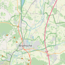
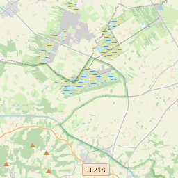
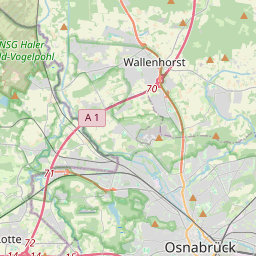
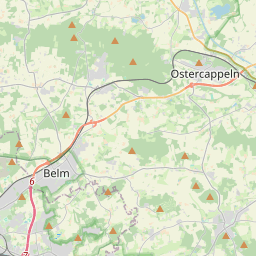
On the map
Last price
—
Floor price
—
7-day median
—
30-day sales
0
30-day range
—
In circulation
0
Price history
median
low – high
sales
No sales in this period
Show table
| Date | median | Low | High | sales |
|---|
Sales history
- Last sale
- —
- 30-day average
- —
- 30-day low
- —
- 30-day high
- —
- Sales 7d
- 0
- Sales 30d
- 0
No sales yet.
Anonymous sales: no buyer or seller shown. Figures count player-to-player sales only.
From Wikipedia
The Kalkrieser Berg (also called the Schmittenhöhe) is a hill, 157 m high, between the villages of Venne and Engter in the district of Osnabrück. The Kalkrieser Berg is a northern bulge of the Wiehen Hills. To the north is the great bog of Großes Moor at a height of about 47 m above sea level (NHN), the Mittelland Canal, built in the 20th century, and the Bramsche parish of Kalkriese. Most historians believe that the narrow point – between the Kalkrieser Berg and the great bog – was where the decisive Battle of the Teutoburg Forest between the Romans and the Germanic tribes took place. In the area of Kalkriese artifacts believed to be from the battle have been recovered and many are on display in the Kalkriese Museum and Park.
Text: Wikipédia, CC BY-SA 4.0. · Image: Grugerio (CC BY-SA 3.0) ·
Related cards

Kalkriese
Human settlement
Nº Q60176450 ★★

Bückeberg
Highest elevation of the mountain range Bückeberge in the Calenberger Bergland, Lower Saxony, Germany
Nº Q1020424 ★★

Kalmit
Highest peak in the Palatinate Forest, Germany
Nº Q1722544 ★★★★

Hoher Bogen
Mountain
Nº Q1299023 ★★★

Battle of the Teutoburg Forest
Battle between a coalition of Germanic peoples and an Imperial Roman army, 9 BCE
Nº Q87779 ★★★★★

Teufelsmauer
Extending about 12 miles on Harz mountain range
Nº Q1494979 ★★★★