
Kasaragod district
District of Kerala, India
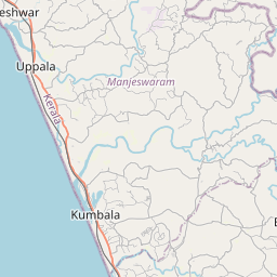
Kasaragod district (Malayalam: [kaːsɐrɡoːɖɨ̆] (Tulu: Kāsrōḍ, Kannada: Kāsaragūḍu, Konkani: Kāsāragōḍa; English: Kassergode) is one of the 14 districts in the southern Indian state of Kerala. Its northern border Thalappady is located just 9 km south to Ullal, which is the southernmost portion of the major port city Mangalore, on the southwestern Malabar coast of India.
Nº Q1419703 ★★
Incomum · Lugares
Kasaragod district
District of Kerala, India
Kasaragod district (Malayalam: [kaːsɐrɡoːɖɨ̆] (Tulu: Kāsrōḍ, Kannada: Kāsaragūḍu, Konkani: Kāsāragōḍa; English: Kassergode) is one of the 14 districts in the southern Indian state of Kerala. Its northern border Thalappady is located just 9 km south to Ullal, which is the southernmost portion of the major port city Mangalore, on the southwestern Malabar coast of India.
No mapa
Último preço
—
Preço mínimo
—
Mediana 7 d
—
Vendas 30 d
0
Faixa 30 d
—
Em circulação
0
Cotação
mediana
mín – máx
vendas
Sem vendas no período
Ver tabela
| Data | mediana | Mín | Máx | vendas |
|---|
Histórico de vendas
- Última venda
- —
- Média 30 d
- —
- Mínima 30 d
- —
- Máxima 30 d
- —
- Vendas 7 d
- 0
- Vendas 30 d
- 0
Ainda sem vendas.
Vendas anônimas: sem comprador nem vendedor. Os números contam só vendas entre jogadores.
Na Wikipédia
Texto em inglês Ainda não há artigo no seu idioma: trecho em inglês.
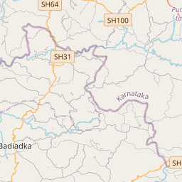
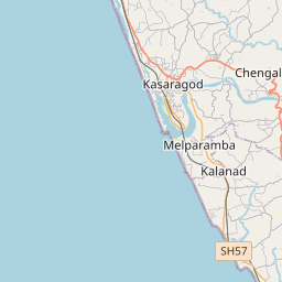
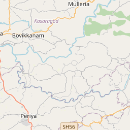
Kasaragod district (Malayalam: [kaːsɐrɡoːɖɨ̆] (Tulu: Kāsrōḍ, Kannada: Kāsaragūḍu, Konkani: Kāsāragōḍa; English: Kassergode) is one of the 14 districts in the southern Indian state of Kerala. Its northern border Thalappady is located just 9 km south to Ullal, which is the southernmost portion of the major port city Mangalore, on the southwestern Malabar coast of India. Kasaragod is the northernmost district of Kerala and is also known as Saptha Bhasha Sangama Bhoomi (The place where Seven languages meets) The district is situated on the rich biodiversity of the Western Ghats. It was a part of the Kannur district of Kerala until 24 May 1984. It also remains the last formed district of kerala to date. The district is bounded by Dakshina Kannada district to the north, Western Ghats to the northeast, Kodagu district to the southeast, Kannur district to the south, and the Arabian Sea to the west. Kasaragod district has the maximum number of rivers in Kerala - 12. Kasaragod town is located on the estuary where the Chandragiri River, which is also the longest river in the district, empties into Arabian Sea. Kasaragod is home to several forts which include Arikady fort, Bekal Fort, Chandragiri Fort, and Hosdurg Fort. Bekal Fort is also the largest fort in Kerala. The historic hill of Ezhimala is located on the southern portion of Kavvayi Backwaters of Nileshwaram. Talakaveri, which is home to Talakaveri Wildlife Sanctuary where the 805 km long Kaveri River originates, is located closer to Ranipuram in Kerala-Karnataka border. Robert Caldwell describes the extent of Malayalam in the late 19th century as extending from Chandragiri fort and Chandragiri River in the north to Neyyar River beyond Thiruvananthapuram in the south. Tulunadu, where Tulu language is traditionally spoken, is said to be bound on the south by the Chandragiri river and...
Texto: Wikipédia em inglês, CC BY-SA 4.0. · Imagem: Rajeshodayanchal at ml.wikipedia (CC BY-SA 3.0) ·
Cartas próximas

Kasaragod
Municipal city in Kerala, India
Nº Q317217 ★★

Kannur district
District of Kerala, India
Nº Q2980652 ★

Palakkad district
District in Kerala, India
Nº Q1535742 ★

Kozhikode district
District of Kerala, India
Nº Q1142979 ★

Malappuram district
District of Kerala, India
Nº Q1030918 ★★

Idukki district
District of Kerala, India
Nº Q301821 ★★