
Malabar District
Administrative district of British India
Malabar District, or Malabar, also known as British Malabar was an administrative district on the southwestern Malabar Coast of Bombay Presidency (1792–1800), Madras Presidency (1800–1950) and finally, Madras State (1950–1956) in India. It was the most populous and the third-largest district in the erstwhile Madras State.
Nº Q239462 ★★
Incomum · Lugares
Malabar District
Administrative district of British India
Malabar District, or Malabar, also known as British Malabar was an administrative district on the southwestern Malabar Coast of Bombay Presidency (1792–1800), Madras Presidency (1800–1950) and finally, Madras State (1950–1956) in India. It was the most populous and the third-largest district in the erstwhile Madras State.
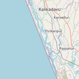
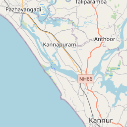
No mapa
Último preço
—
Preço mínimo
—
Mediana 7 d
—
Vendas 30 d
0
Faixa 30 d
—
Em circulação
0
Cotação
mediana
mín – máx
vendas
Sem vendas no período
Ver tabela
| Data | mediana | Mín | Máx | vendas |
|---|
Histórico de vendas
- Última venda
- —
- Média 30 d
- —
- Mínima 30 d
- —
- Máxima 30 d
- —
- Vendas 7 d
- 0
- Vendas 30 d
- 0
Ainda sem vendas.
Vendas anônimas: sem comprador nem vendedor. Os números contam só vendas entre jogadores.
Na Wikipédia
Texto em inglês Ainda não há artigo no seu idioma: trecho em inglês.
Malabar District, or Malabar, also known as British Malabar was an administrative district on the southwestern Malabar Coast of Bombay Presidency (1792–1800), Madras Presidency (1800–1950) and finally, Madras State (1950–1956) in India. It was the most populous and the third-largest district in the erstwhile Madras State. It was sub-divided into two divisions South Malabar and North Malabar, the historic town of Kozhikode of South Malabar region was the administrative headquarters of this district. The district included the present-day districts of Kannur, Kozhikode, Wayanad, Malappuram, Palakkad northern and central parts of present Kerala state, the Lakshadweep Islands, and a major portion of the Nilgiris district in modern-day Tamil Nadu. The detached settlements of Tangasseri and Anchuthengu, which were British colonies within the kingdom of Travancore in southern Kerala, also formed part of Malabar District until 1927. Malayalam was the administrative as well as the most spoken lingua franca of Malabar district. Jeseri, a distinct dialect of Malayalam, was spoken in the Laccadive Islands. Malabar District merged with the erstwhile state of Travancore-Cochin (1950–1956) to form Kerala according to the States Reorganisation Act, 1956. On the same day, the present Kasaragod district of South Canara District was also attached to Malabar, and the Laccadive and Minicoy Islands of Malabar were reorganised to form a new Union Territory. Malabar was trifurcated to form the districts of Kannur, Kozhikode, and Palakkad on 1 January 1957. The city of Kozhikode was the capital of Malabar. Malabar was divided into North Malabar and South Malabar in 1793 for administrative convenience, with their regional headquarters at Thalassery and Cherpulassery (Later changed to Ottapalam) respectively. During the British rule, Malabar's chief importance lay in its production of Malabar pepper, coconut, and tiles. In the old administrative records of the Madras Presidency, it is recorded that the most remarkable...
Texto: Wikipédia em inglês, CC BY-SA 4.0. · Imagem: Truebrother (CC BY-SA 4.0) ·
Cartas próximas

Kozhikode district
District of Kerala, India
Nº Q1142979 ★

Madras State
Former state in India
Nº Q2618458 ★★

Palakkad district
District in Kerala, India
Nº Q1535742 ★

Cananor
Nº Q4789666 ★★

Malappuram district
District of Kerala, India
Nº Q1030918 ★★

Madras Presidency
Administrative unit in British India
Nº Q1772596 ★★★