
Mindo, Ecuador
Rural area in Pichincha, Ecuador
Mindo (also known as the Mindo Valley) is a mountainous watershed in the western slopes of the Andes, where two of the most biologically diverse ecoregions in the world meet: the Chocoan lowlands and the Tropical Andes. In this transitional area — which covers an area of 268 square kilometers (103 sq mi) and ranges from 960–3,440 metres (3,150–11,290 ft) above sea level — three rivers (Mindo, Saloya and Cinto) and hundreds of streams irrigate the landscape, which is a patchwork of cloud forests, secondary forests, agricultural land, and human s...
Nº Q3081485 ★★
Incomum · Lugares
Mindo, Ecuador
Rural area in Pichincha, Ecuador
Mindo (also known as the Mindo Valley) is a mountainous watershed in the western slopes of the Andes, where two of the most biologically diverse ecoregions in the world meet: the Chocoan lowlands and the Tropical Andes. In this transitional area — which covers an area of 268 square kilometers (103 sq mi) and ranges from 960–3,440 metres (3,150–11,290 ft) above sea level — three rivers (Mindo, Saloya and Cinto) and hundreds of streams irrigate the landscape, which is a patchwork of cloud forests, secondary forests, agricultural land, and human s...
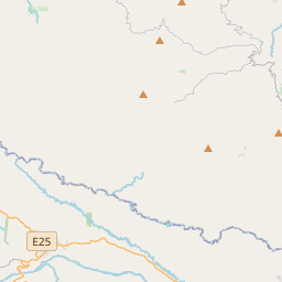
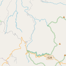
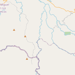
No mapa

Último preço
—
Preço mínimo
—
Mediana 7 d
—
Vendas 30 d
0
Faixa 30 d
—
Em circulação
0
Cotação
mediana
mín – máx
vendas
Sem vendas no período
Ver tabela
| Data | mediana | Mín | Máx | vendas |
|---|
Histórico de vendas
- Última venda
- —
- Média 30 d
- —
- Mínima 30 d
- —
- Máxima 30 d
- —
- Vendas 7 d
- 0
- Vendas 30 d
- 0
Ainda sem vendas.
Vendas anônimas: sem comprador nem vendedor. Os números contam só vendas entre jogadores.
Na Wikipédia
Texto em inglês Ainda não há artigo no seu idioma: trecho em inglês.
Mindo (also known as the Mindo Valley) is a mountainous watershed in the western slopes of the Andes, where two of the most biologically diverse ecoregions in the world meet: the Chocoan lowlands and the Tropical Andes. In this transitional area — which covers an area of 268 square kilometers (103 sq mi) and ranges from 960–3,440 metres (3,150–11,290 ft) above sea level — three rivers (Mindo, Saloya and Cinto) and hundreds of streams irrigate the landscape, which is a patchwork of cloud forests, secondary forests, agricultural land, and human settlements. Politically, Mindo is a collection of rural parishes (Gualea, Nanegal, Nanegalito, Pacto) that make up the Noroccidental Administrative Zone of Quito Canton, and parts of Los Bancos Canton within Pichincha Province in the northern sierra region of Ecuador.
Texto: Wikipédia em inglês, CC BY-SA 4.0. · Imagem: GreenockBeejamin (CC BY-SA 3.0) ·


