
Mindo, Ecuador
Rural area in Pichincha, Ecuador
Mindo (also known as the Mindo Valley) is a mountainous watershed in the western slopes of the Andes, where two of the most biologically diverse ecoregions in the world meet: the Chocoan lowlands and the Tropical Andes. In this transitional area — which covers an area of 268 square kilometers (103 sq mi) and ranges from 960–3,440 metres (3,150–11,290 ft) above sea level — three rivers (Mindo, Saloya and Cinto) and hundreds of streams irrigate the landscape, which is a patchwork of cloud forests, secondary forests, agricultural land, and human s...
Nº Q3081485 ★★
Uncommon · Places
Mindo, Ecuador
Rural area in Pichincha, Ecuador
Mindo (also known as the Mindo Valley) is a mountainous watershed in the western slopes of the Andes, where two of the most biologically diverse ecoregions in the world meet: the Chocoan lowlands and the Tropical Andes. In this transitional area — which covers an area of 268 square kilometers (103 sq mi) and ranges from 960–3,440 metres (3,150–11,290 ft) above sea level — three rivers (Mindo, Saloya and Cinto) and hundreds of streams irrigate the landscape, which is a patchwork of cloud forests, secondary forests, agricultural land, and human s...
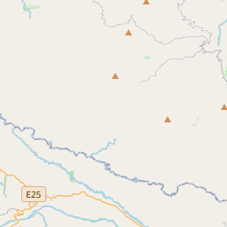
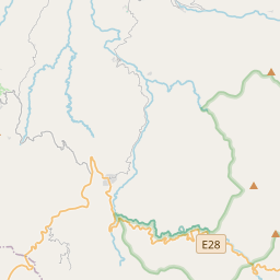
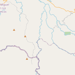
On the map

Last price
—
Floor price
—
7-day median
—
30-day sales
0
30-day range
—
In circulation
0
Price history
median
low – high
sales
No sales in this period
Show table
| Date | median | Low | High | sales |
|---|
Sales history
- Last sale
- —
- 30-day average
- —
- 30-day low
- —
- 30-day high
- —
- Sales 7d
- 0
- Sales 30d
- 0
No sales yet.
Anonymous sales: no buyer or seller shown. Figures count player-to-player sales only.
From Wikipedia
Mindo (also known as the Mindo Valley) is a mountainous watershed in the western slopes of the Andes, where two of the most biologically diverse ecoregions in the world meet: the Chocoan lowlands and the Tropical Andes. In this transitional area — which covers an area of 268 square kilometers (103 sq mi) and ranges from 960–3,440 metres (3,150–11,290 ft) above sea level — three rivers (Mindo, Saloya and Cinto) and hundreds of streams irrigate the landscape, which is a patchwork of cloud forests, secondary forests, agricultural land, and human settlements. Politically, Mindo is a collection of rural parishes (Gualea, Nanegal, Nanegalito, Pacto) that make up the Noroccidental Administrative Zone of Quito Canton, and parts of Los Bancos Canton within Pichincha Province in the northern sierra region of Ecuador.
Text: Wikipédia, CC BY-SA 4.0. · Image: GreenockBeejamin (CC BY-SA 3.0) ·
Related cards
-

Quito
Capital of Ecuador
Nº Q2900 ★★★★★
Not listed
-

Ciudad Mitad del Mundo
Monument park in Ecuador
Nº Q1806478 ★★★
Not listed
-

Puerto Quito
Human settlement
Nº Q1026312 ★★
Not listed
-

Ecuador
Sovereign state in South America
Nº Q736 ★★★★★★
Not listed
-

Pintag, Ecuador
Rural parish of Pichincha Province, Ecuador
Nº Q13190291 ★★
Not listed
-

Cuicocha
Lake in Ecuador
Nº Q1143300 ★★
Not listed