
Nashik district
District of Maharashtra, India
Nashik district, formerly known as Nasik district, is a district in Maharashtra, India. The city of Nashik is the administrative headquarters of the district. Nashik is well known for the production of wine.
Nº Q1797269 ★
Comum · Lugares
Nashik district
District of Maharashtra, India
Nashik district, formerly known as Nasik district, is a district in Maharashtra, India. The city of Nashik is the administrative headquarters of the district. Nashik is well known for the production of wine.
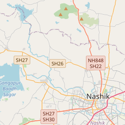
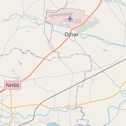
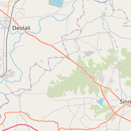
No mapa
Último preço
—
Preço mínimo
—
Mediana 7 d
—
Vendas 30 d
0
Faixa 30 d
—
Em circulação
0
Cotação
mediana
mín – máx
vendas
Sem vendas no período
Ver tabela
| Data | mediana | Mín | Máx | vendas |
|---|
Histórico de vendas
- Última venda
- —
- Média 30 d
- —
- Mínima 30 d
- —
- Máxima 30 d
- —
- Vendas 7 d
- 0
- Vendas 30 d
- 0
Ainda sem vendas.
Vendas anônimas: sem comprador nem vendedor. Os números contam só vendas entre jogadores.
Na Wikipédia
Texto em inglês Ainda não há artigo no seu idioma: trecho em inglês.
Nashik district, formerly known as Nasik district, is a district in Maharashtra, India. The city of Nashik is the administrative headquarters of the district. Nashik is well known for the production of wine. Nashik is also known as Mini Maharashtra, because the climate and soil conditions of Surgana, Peth, Igatpuri resembles the Konkan region; Niphad, Sinnar, Dindori, Baglan blocks are like Western Maharashtra; and Yeola, Nandgaon, Chandwad blocks are like the Vidarbha Region. Nashik is the biggest city in the district while Malegaon is the second biggest city. Manmad, Igatpuri, and Sinnar are some of the big cities situated in Nashik District. Manmad is one of the biggest railway junctions in India while the city of Malegaon is famous for its power looms. Nashik district is the third largest district in Maharashtra state in terms of population of 8,107,187 and occupying an area of 15,582 square kilometres in the north Maharashtra region. It is bounded by Dhule district to the north, Jalgaon district to the east, Aurangabad District to the southeast, Ahmadnagar district to the south, Thane district to the southwest, Valsad and Navsari districts of Gujarat to the west, and The Dangs district of Gujarat state to the northwest. The Western Ghats or Sahyadri range stretches from north to south across the western portion of the district. With the exception of the westernmost few villages, the western portion is hilly, and intersected by ravines, and only the simplest kind of cultivation is possible. The western slope of the Ghats is drained by several rivers, including the Daman Ganga River, which drains westwards to the Arabian Sea. The larger eastern portion of the district, which lies on the Deccan Plateau, is open, fertile, and well cultivated. The Satmala-Chandwad Range, which runs east and west, forms the chief divide of the...
Texto: Wikipédia em inglês, CC BY-SA 4.0. · Imagem: Arian Zwegers (CC BY 2.0) ·


