
Bhimtal
Town and municipality in Nainital district, Uttarakhand, India
Bhimtal ([bʱiːmˈtaːl]; Devanagari: भीमताल, Kumaoni: [bʱiːmˈtaːl]) is a municipal town, administrative tehsil headquarters, and intermontane lacustrine basin situated in the Nainital district of the northern Indian state of Uttarakhand. Located in the Outer Lesser Himalayas at an altitude of 1,370 metres (4,495 feet) above mean sea level, the town lies 22 kilometres east of Nainital, 21 kilometres north of the railway terminus at Kathgodam, and 30 kilometres north of the regional commercial centre of Haldwani.
Nº Q795774 ★
Common · Places
Bhimtal
Town and municipality in Nainital district, Uttarakhand, India
Bhimtal ([bʱiːmˈtaːl]; Devanagari: भीमताल, Kumaoni: [bʱiːmˈtaːl]) is a municipal town, administrative tehsil headquarters, and intermontane lacustrine basin situated in the Nainital district of the northern Indian state of Uttarakhand. Located in the Outer Lesser Himalayas at an altitude of 1,370 metres (4,495 feet) above mean sea level, the town lies 22 kilometres east of Nainital, 21 kilometres north of the railway terminus at Kathgodam, and 30 kilometres north of the regional commercial centre of Haldwani.
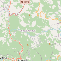
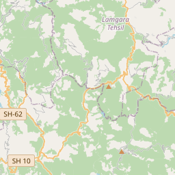
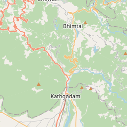
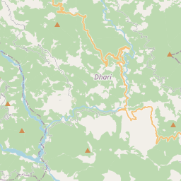
On the map
Last price
—
Floor price
—
7-day median
—
30-day sales
0
30-day range
—
In circulation
0
Price history
median
low – high
sales
No sales in this period
Show table
| Date | median | Low | High | sales |
|---|
Sales history
- Last sale
- —
- 30-day average
- —
- 30-day low
- —
- 30-day high
- —
- Sales 7d
- 0
- Sales 30d
- 0
No sales yet.
Anonymous sales: no buyer or seller shown. Figures count player-to-player sales only.
From Wikipedia
Bhimtal ([bʱiːmˈtaːl]; Devanagari: भीमताल, Kumaoni: [bʱiːmˈtaːl]) is a municipal town, administrative tehsil headquarters, and intermontane lacustrine basin situated in the Nainital district of the northern Indian state of Uttarakhand. Located in the Outer Lesser Himalayas at an altitude of 1,370 metres (4,495 feet) above mean sea level, the town lies 22 kilometres east of Nainital, 21 kilometres north of the railway terminus at Kathgodam, and 30 kilometres north of the regional commercial centre of Haldwani. The physical geography of the settlement is structured around Bhimtal Lake, a natural freshwater body covering 47.8 hectares, representing the largest lake by surface area in the Kumaon division. The lake features a natural volcanic bedrock island situated 91 metres from the southern dam embankment that accommodates a municipal public aquarium accessible by passenger ferry boats. In October 2023, the Government of Uttarakhand formally elevated Bhimtal from a Nagar Panchayat to a Class-III Nagar Palika Parishad. The town serves as an administrative hub hosting Vikas Bhawan, which accommodates the decentralized district rural development, agricultural, educational, and social welfare directorates for Nainital district.
Text: Wikipédia, CC BY-SA 4.0. · Image: Samuel Bourne (Public domain) ·
Related cards
-

Nainital
Human settlement
Nº Q773213 ★★★
Not listed
-

Mukteshwar
Village in Nainital district, Kumaon division, Uttarakhand, India
Nº Q3634952 ★★
Not listed
-

Haldwani
City and municipal corporation in Nainital district, Uttarakhand, India
Nº Q1707839 ★★★
Not listed
-

Munsiari
Human settlement in India
Nº Q14226032 ★★
Not listed
-

Ramnagar, Uttarakhand
Town in the Indian state of Uttarakhand
Nº Q2669058 ★
Not listed
-

Dhanaulti
Human settlement in India
Nº Q5268925 ★
Not listed