
Bhimtal
Établissement humain en Inde
Bhimtal ([bʱiːmˈtaːl]; Devanagari: भीमताल, Kumaoni: [bʱiːmˈtaːl]) is a municipal town, administrative tehsil headquarters, and intermontane lacustrine basin situated in the Nainital district of the northern Indian state of Uttarakhand. Located in the Outer Lesser Himalayas at an altitude of 1,370 metres (4,495 feet) above mean sea level, the town lies 22 kilometres east of Nainital, 21 kilometres north of the railway terminus at Kathgodam, and 30 kilometres north of the regional commercial centre of Haldwani.
Nº Q795774 ★
Commune · Lieux
Bhimtal
Établissement humain en Inde
Bhimtal ([bʱiːmˈtaːl]; Devanagari: भीमताल, Kumaoni: [bʱiːmˈtaːl]) is a municipal town, administrative tehsil headquarters, and intermontane lacustrine basin situated in the Nainital district of the northern Indian state of Uttarakhand. Located in the Outer Lesser Himalayas at an altitude of 1,370 metres (4,495 feet) above mean sea level, the town lies 22 kilometres east of Nainital, 21 kilometres north of the railway terminus at Kathgodam, and 30 kilometres north of the regional commercial centre of Haldwani.
Sur la carte
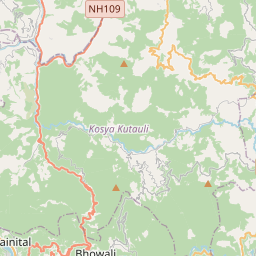
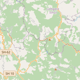
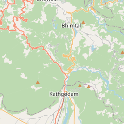
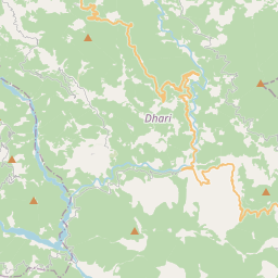
Dernier prix
—
Prix plancher
—
Médiane 7 j
—
Ventes 30 j
0
Fourchette 30 j
—
En circulation
0
Cours
médiane
min – max
ventes
Aucune vente sur la période
Voir le tableau
| Date | médiane | Min | Max | ventes |
|---|
Historique des ventes
- Dernière vente
- —
- Moyenne 30 j
- —
- Plus bas 30 j
- —
- Plus haut 30 j
- —
- Ventes 7 j
- 0
- Ventes 30 j
- 0
Aucune vente pour l'instant.
Ventes anonymes : ni acheteur ni vendeur. Les chiffres ne comptent que les ventes entre joueurs.
Sur Wikipédia
Texte en anglais Pas encore d'article dans ta langue : extrait en anglais.
Bhimtal ([bʱiːmˈtaːl]; Devanagari: भीमताल, Kumaoni: [bʱiːmˈtaːl]) is a municipal town, administrative tehsil headquarters, and intermontane lacustrine basin situated in the Nainital district of the northern Indian state of Uttarakhand. Located in the Outer Lesser Himalayas at an altitude of 1,370 metres (4,495 feet) above mean sea level, the town lies 22 kilometres east of Nainital, 21 kilometres north of the railway terminus at Kathgodam, and 30 kilometres north of the regional commercial centre of Haldwani. The physical geography of the settlement is structured around Bhimtal Lake, a natural freshwater body covering 47.8 hectares, representing the largest lake by surface area in the Kumaon division. The lake features a natural volcanic bedrock island situated 91 metres from the southern dam embankment that accommodates a municipal public aquarium accessible by passenger ferry boats. In October 2023, the Government of Uttarakhand formally elevated Bhimtal from a Nagar Panchayat to a Class-III Nagar Palika Parishad. The town serves as an administrative hub hosting Vikas Bhawan, which accommodates the decentralized district rural development, agricultural, educational, and social welfare directorates for Nainital district.
Texte : Wikipédia en anglais, CC BY-SA 4.0. · Image : Samuel Bourne (Public domain) ·
Cartes voisines
-

Nainital
Ville de l'État de l'Uttarakhand en Inde
Nº Q773213 ★★★
Pas en vente
-

Mukteshwar
Village in Nainital district, Kumaon division, Uttarakhand, India
Nº Q3634952 ★★
Pas en vente
-

Haldwani
Ville et corporation municipale de l'État de l'Uttarakhand, en Inde
Nº Q1707839 ★★★
Pas en vente
-

Munsyari
Établissement humain en Inde
Nº Q14226032 ★★
Pas en vente
-

Ramnagar
Town in the Indian state of Uttarakhand
Nº Q2669058 ★
Pas en vente
-

Dhanaulti
Human settlement in India
Nº Q5268925 ★
Pas en vente