
Dooars
Alluvial floodplains in eastern-northeastern India
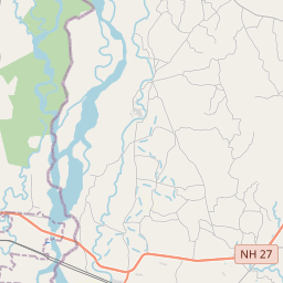
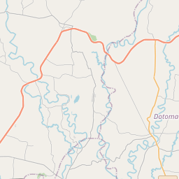
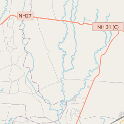
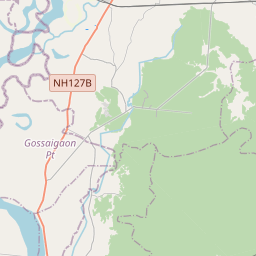
The Dooars or Duars () are the alluvial floodplains in eastern-northeastern India and southern Bhutan that lie south of the outer foothills of the Himalayas and north of the Brahmaputra River basin. This region is about 30 km (19 mi) wide and stretches over about 350 km (220 mi) from the Teesta River in West Bengal to the Dhansiri River in Udalguri district of Assam.
Nº Q2975243 ★
Common · Places
Dooars
Alluvial floodplains in eastern-northeastern India
The Dooars or Duars () are the alluvial floodplains in eastern-northeastern India and southern Bhutan that lie south of the outer foothills of the Himalayas and north of the Brahmaputra River basin. This region is about 30 km (19 mi) wide and stretches over about 350 km (220 mi) from the Teesta River in West Bengal to the Dhansiri River in Udalguri district of Assam.
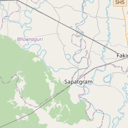
On the map

Last price
—
Floor price
—
7-day median
—
30-day sales
0
30-day range
—
In circulation
0
Price history
median
low – high
sales
No sales in this period
Show table
| Date | median | Low | High | sales |
|---|
Sales history
- Last sale
- —
- 30-day average
- —
- 30-day low
- —
- 30-day high
- —
- Sales 7d
- 0
- Sales 30d
- 0
No sales yet.
Anonymous sales: no buyer or seller shown. Figures count player-to-player sales only.
From Wikipedia
The Dooars or Duars () are the alluvial floodplains in eastern-northeastern India and southern Bhutan that lie south of the outer foothills of the Himalayas and north of the Brahmaputra River basin. This region is about 30 km (19 mi) wide and stretches over about 350 km (220 mi) from the Teesta River in West Bengal to the Dhansiri River in Udalguri district of Assam. The region forms the gateway to Bhutan. It is part of the Terai-Duar savanna and grasslands ecoregion. Dooars means 'doors' in Assamese, Bengali, Bhojpuri, Kamtapuri, Magahi and Maithili languages. There are 18 passages or gateways between the hills in Bhutan and the plains in India. This region is divided by the Sankosh River into Eastern and Western Dooars, consisting of an area of 880 km2 (340 sq mi).
Text: Wikipédia, CC BY-SA 4.0. · Image: Rajibnandi (CC BY-SA 3.0) ·
Related cards

Damodar River
River in India
Nº Q1971511 ★

Buland Darwaza
Monumental gate in Fatehpur Sikri, India
Nº Q3535264 ★★

Aksai Chin
Disputed territory administered by China
Nº Q230830 ★★★

Nandi Hills, India
Human settlement in India
Nº Q3518367 ★★

Sivalik Hills
Mountain range
Nº Q613624 ★★

Munnar
Town in Idukki district, Kerala, India
Nº Q1025124 ★★