
Dooars
Alluvial floodplains in eastern-northeastern India
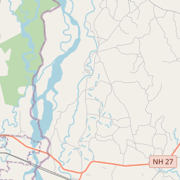
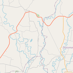
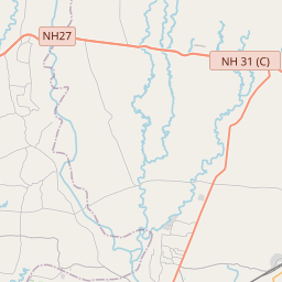
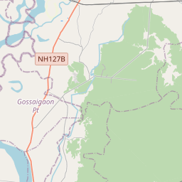
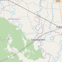
The Dooars or Duars () are the alluvial floodplains in eastern-northeastern India and southern Bhutan that lie south of the outer foothills of the Himalayas and north of the Brahmaputra River basin. This region is about 30 km (19 mi) wide and stretches over about 350 km (220 mi) from the Teesta River in West Bengal to the Dhansiri River in Udalguri district of Assam.
Nº Q2975243 ★
Commune · Lieux
Dooars
Alluvial floodplains in eastern-northeastern India
The Dooars or Duars () are the alluvial floodplains in eastern-northeastern India and southern Bhutan that lie south of the outer foothills of the Himalayas and north of the Brahmaputra River basin. This region is about 30 km (19 mi) wide and stretches over about 350 km (220 mi) from the Teesta River in West Bengal to the Dhansiri River in Udalguri district of Assam.
Sur la carte

Dernier prix
—
Prix plancher
—
Médiane 7 j
—
Ventes 30 j
0
Fourchette 30 j
—
En circulation
0
Cours
médiane
min – max
ventes
Aucune vente sur la période
Voir le tableau
| Date | médiane | Min | Max | ventes |
|---|
Historique des ventes
- Dernière vente
- —
- Moyenne 30 j
- —
- Plus bas 30 j
- —
- Plus haut 30 j
- —
- Ventes 7 j
- 0
- Ventes 30 j
- 0
Aucune vente pour l'instant.
Ventes anonymes : ni acheteur ni vendeur. Les chiffres ne comptent que les ventes entre joueurs.
Sur Wikipédia
Texte en anglais Pas encore d'article dans ta langue : extrait en anglais.
The Dooars or Duars () are the alluvial floodplains in eastern-northeastern India and southern Bhutan that lie south of the outer foothills of the Himalayas and north of the Brahmaputra River basin. This region is about 30 km (19 mi) wide and stretches over about 350 km (220 mi) from the Teesta River in West Bengal to the Dhansiri River in Udalguri district of Assam. The region forms the gateway to Bhutan. It is part of the Terai-Duar savanna and grasslands ecoregion. Dooars means 'doors' in Assamese, Bengali, Bhojpuri, Kamtapuri, Magahi and Maithili languages. There are 18 passages or gateways between the hills in Bhutan and the plains in India. This region is divided by the Sankosh River into Eastern and Western Dooars, consisting of an area of 880 km2 (340 sq mi).
Texte : Wikipédia en anglais, CC BY-SA 4.0. · Image : Rajibnandi (CC BY-SA 3.0) ·
Cartes voisines

Saccharum spontaneum
Espèce de plantes
Nº Q2249048 ★
Assia Dahir
Nº Q125490028 ★★★★★★
Zimra Geurts
Nº Q2695376 ★★★

Pororoca
Tidal bore, with waves up to 4 metres high that travel as much as 800 km inland upstream on the Amazon River and adjacent rivers
Nº Q1931232 ★★★

Trudruá Dorrico
Brazilian indigenous writer
Nº Q117357969 ★★★
Soebronto Laras
Nº Q97229361 ★★★★