
Dooars
Alluvial floodplains in eastern-northeastern India
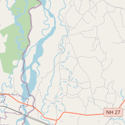
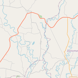
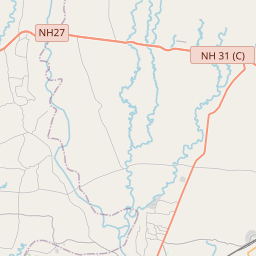
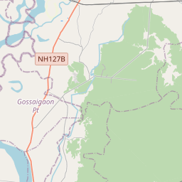
The Dooars or Duars () are the alluvial floodplains in eastern-northeastern India and southern Bhutan that lie south of the outer foothills of the Himalayas and north of the Brahmaputra River basin. This region is about 30 km (19 mi) wide and stretches over about 350 km (220 mi) from the Teesta River in West Bengal to the Dhansiri River in Udalguri district of Assam.
Nº Q2975243 ★
Comum · Lugares
Dooars
Alluvial floodplains in eastern-northeastern India
The Dooars or Duars () are the alluvial floodplains in eastern-northeastern India and southern Bhutan that lie south of the outer foothills of the Himalayas and north of the Brahmaputra River basin. This region is about 30 km (19 mi) wide and stretches over about 350 km (220 mi) from the Teesta River in West Bengal to the Dhansiri River in Udalguri district of Assam.
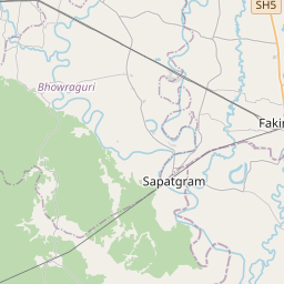
No mapa

Último preço
—
Preço mínimo
—
Mediana 7 d
—
Vendas 30 d
0
Faixa 30 d
—
Em circulação
0
Cotação
mediana
mín – máx
vendas
Sem vendas no período
Ver tabela
| Data | mediana | Mín | Máx | vendas |
|---|
Histórico de vendas
- Última venda
- —
- Média 30 d
- —
- Mínima 30 d
- —
- Máxima 30 d
- —
- Vendas 7 d
- 0
- Vendas 30 d
- 0
Ainda sem vendas.
Vendas anônimas: sem comprador nem vendedor. Os números contam só vendas entre jogadores.
Na Wikipédia
Texto em inglês Ainda não há artigo no seu idioma: trecho em inglês.
The Dooars or Duars () are the alluvial floodplains in eastern-northeastern India and southern Bhutan that lie south of the outer foothills of the Himalayas and north of the Brahmaputra River basin. This region is about 30 km (19 mi) wide and stretches over about 350 km (220 mi) from the Teesta River in West Bengal to the Dhansiri River in Udalguri district of Assam. The region forms the gateway to Bhutan. It is part of the Terai-Duar savanna and grasslands ecoregion. Dooars means 'doors' in Assamese, Bengali, Bhojpuri, Kamtapuri, Magahi and Maithili languages. There are 18 passages or gateways between the hills in Bhutan and the plains in India. This region is divided by the Sankosh River into Eastern and Western Dooars, consisting of an area of 880 km2 (340 sq mi).
Texto: Wikipédia em inglês, CC BY-SA 4.0. · Imagem: Rajibnandi (CC BY-SA 3.0) ·


