
Guiers
Watercourse
The Guiers (French pronunciation: [ɡje]) is a river in the Isère and Savoie departments of eastern France. It is 49.9 km (31.0 mi) long. It rises in the Chartreuse Mountains.
Nº Q993722 ★★
Uncommon · Places
Guiers
Watercourse
The Guiers (French pronunciation: [ɡje]) is a river in the Isère and Savoie departments of eastern France. It is 49.9 km (31.0 mi) long. It rises in the Chartreuse Mountains.
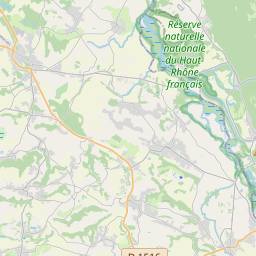
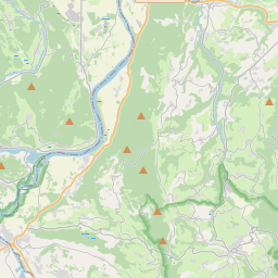
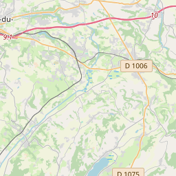
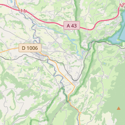
On the map
Last price
—
Floor price
—
7-day median
—
30-day sales
0
30-day range
—
In circulation
0
Price history
median
low – high
sales
No sales in this period
Show table
| Date | median | Low | High | sales |
|---|
Sales history
- Last sale
- —
- 30-day average
- —
- 30-day low
- —
- 30-day high
- —
- Sales 7d
- 0
- Sales 30d
- 0
No sales yet.
Anonymous sales: no buyer or seller shown. Figures count player-to-player sales only.
From Wikipedia
The Guiers (French pronunciation: [ɡje]) is a river in the Isère and Savoie departments of eastern France. It is 49.9 km (31.0 mi) long. It rises in the Chartreuse Mountains. The part upstream from the confluence with the Guiers Vif (literally Live Guiers) is also called Guiers Mort (literally Dead Guiers).
Text: Wikipédia, CC BY-SA 4.0. · Image: This illustration was made by louis-garden. Please credit th... (CC BY-SA 3.0) ·
Related cards
-

Gier (river)
River in France
Nº Q1010411 ★★
Not listed
-

Vie (river)
River in France, tributary of the Atlantic Ocean
Nº Q2523116 ★★
Not listed
-

Dives (river)
River
Nº Q118784 ★★
Not listed
-

Dive (river)
River in France
Nº Q1129962 ★★
Not listed
-

Hers-Mort
River in France
Nº Q897443 ★★
Not listed
-

Doux (river)
Watercourse
Nº Q1252810 ★★
Not listed