
Guiers
Watercourse
The Guiers (French pronunciation: [ɡje]) is a river in the Isère and Savoie departments of eastern France. It is 49.9 km (31.0 mi) long. It rises in the Chartreuse Mountains.
Nº Q993722 ★★
Incomum · Lugares
Guiers
Watercourse
The Guiers (French pronunciation: [ɡje]) is a river in the Isère and Savoie departments of eastern France. It is 49.9 km (31.0 mi) long. It rises in the Chartreuse Mountains.
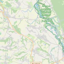
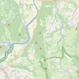
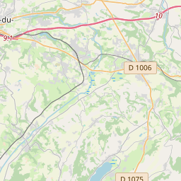
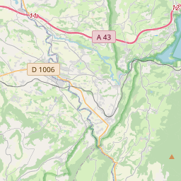
No mapa
Último preço
—
Preço mínimo
—
Mediana 7 d
—
Vendas 30 d
0
Faixa 30 d
—
Em circulação
0
Cotação
mediana
mín – máx
vendas
Sem vendas no período
Ver tabela
| Data | mediana | Mín | Máx | vendas |
|---|
Histórico de vendas
- Última venda
- —
- Média 30 d
- —
- Mínima 30 d
- —
- Máxima 30 d
- —
- Vendas 7 d
- 0
- Vendas 30 d
- 0
Ainda sem vendas.
Vendas anônimas: sem comprador nem vendedor. Os números contam só vendas entre jogadores.
Na Wikipédia
Texto em inglês Ainda não há artigo no seu idioma: trecho em inglês.
The Guiers (French pronunciation: [ɡje]) is a river in the Isère and Savoie departments of eastern France. It is 49.9 km (31.0 mi) long. It rises in the Chartreuse Mountains. The part upstream from the confluence with the Guiers Vif (literally Live Guiers) is also called Guiers Mort (literally Dead Guiers).
Texto: Wikipédia em inglês, CC BY-SA 4.0. · Imagem: This illustration was made by louis-garden. Please credit th... (CC BY-SA 3.0) ·
Cartas próximas
-

Gier (river)
River in France
Nº Q1010411 ★★
Sem ofertas
-

Vie (river)
River in France, tributary of the Atlantic Ocean
Nº Q2523116 ★★
Sem ofertas
-

Rio Dives
Nº Q118784 ★★
Sem ofertas
-

Rio Dive
Nº Q1129962 ★★
Sem ofertas
-

Hers-Mort
River in France
Nº Q897443 ★★
Sem ofertas
-

Doux (river)
Watercourse
Nº Q1252810 ★★
Sem ofertas